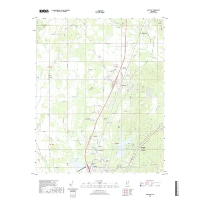
2018 Map of Guntown
USGS Topo · Published 2018About this map
Saltillo and Guntown anchor this Lee County landscape, where the headwaters of the Tishomingo Creek and Euclautubba Cr carve through the north Mississippi terrain. This 2018 survey documents a dense concentration of lineage-rich sites, particularly family-named burial grounds such as the Taylor Family Cem and Francis Family Cem. The southern reach is dominated by the expansive Lake Lamar Bruce, while to the north, the terrain rises toward Pea Ridge and the edge of Baldwyn.
Find a feature on this map
128 named features on this map. Tap any name to fly to it.
Don’t see what you’re looking for? This feature index may not catch every label — zoom into the map to look around manually.
Map Details
Editions of this 2018 Guntown Map
This is the sole edition of this map. No revisions or reprints were ever made.
Other maps of this area
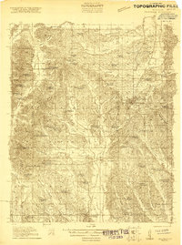
1921 · Booneville
USGS Topo · 1:48,000
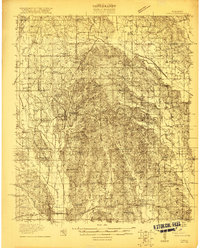
1921 · Tupelo
USGS Topo · 1:48,000
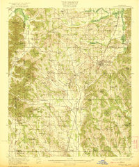
1922 · Booneville
USGS Topo · 1:62,500
1923 · Tupelo
USGS Topo · 1:62,500
1955 · Ripley
USGS Topo · 1:62,500
1955 · Sherman
USGS Topo · 1:62,500
1956 · Tupelo
USGS Topo · 1:250,000
1958 · Tupelo
USGS Topo · 1:250,000
1965 · Mooreville
USGS Topo · 1:24,000
1973 · Guntown
USGS Topo · 1:24,000