Loading...
Loading map...1969 Map of Gurabo
USGS Topo · Published 1982About this map
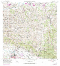
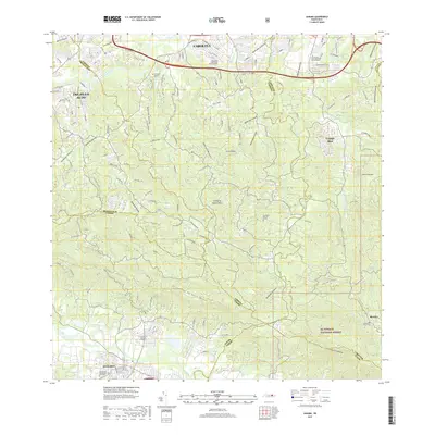
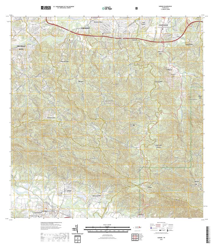
Gurabo serves as a focal point at the southern edge of this map, situated where the Rio Gurabo meets the valley floor. The town's civic fabric is dense with historical detail, from the Abraham Lincoln School and Parque de Bombas to the Cementerio Rural de Gurabo. Educational and institutional life is prominent, evidenced by the presence of the University of Puerto Rico and the Estación Experimental Agricola nearby.
Find a feature on this map
78 named features on this map. Tap any name to fly to it.
Don’t see what you’re looking for? This feature index may not catch every label — zoom into the map to look around manually.
Map Details
Date Portrayed1969
Date Published1982
PublisherU.S. Geological Survey
Map TypeTopographic
Scale1:20,000
Physical Dimensions29.1 x 32.2 inches
Editions of this 1969 Gurabo Map
2 editions found
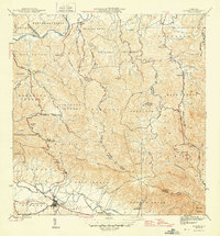
Historical Maps of Gurabo Through Time
9 maps found


Featured Locations
- Gurabo, Gurabo
- La Marina, Canóvanas
- Sector Los Canales, Carolina
- Colinas de Cacao, Carolina
- Sector El Counte, Carolina
Source Details
SourceU.S. Geological Survey
CopyrightPublic Domain