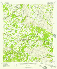
1956 Map of Gustine
USGS Topo · Published 1956About this map
The Leon River meanders through this portion of Central Texas, anchoring a landscape defined by small farming communities and post-war rural infrastructure. The town of Gustine serves as a central hub, situated along the 36 Th Division Memorial Highway, which pays tribute to the region's military heritage. Surrounding the town, numerous rural landmarks provide a detailed look at mid-century local life, including Evergreen Cem and Baggett Cr Ch.
Find a feature on this map
51 named features on this map. Tap any name to fly to it.
Don’t see what you’re looking for? This feature index may not catch every label — zoom into the map to look around manually.
Map Details
Editions of this 1956 Gustine Map
This is the sole edition of this map. No revisions or reprints were ever made.
Other maps of this area
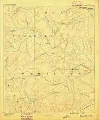
1888 · Hamilton
USGS Topo · 1:125,000
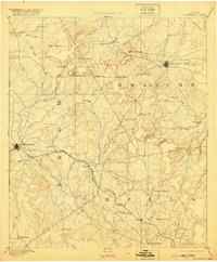
1889 · Brownwood
USGS Topo · 1:125,000
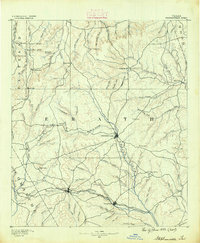
1890 · Stephenville
USGS Topo · 1:125,000
1894 · Hamilton
USGS Topo · 1:125,000
1894 · Eastland
USGS Topo · 1:125,000
1894 · Brownwood
USGS Topo · 1:125,000
1920 · Stephenville
USGS Topo · 1:125,000
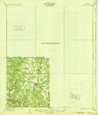
1931 · Mullin
USGS Topo · 1:62,500
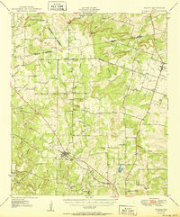
1950 · Mullin
USGS Topo · 1:62,500
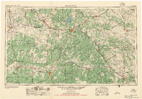
1954 · Brownwood
USGS Topo · 1:250,000