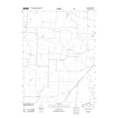
2012 Map of Guthrie
USGS Topo · Published 2012About this map
Guthrie and the surrounding Callaway County countryside are defined by a network of rural roads and watercourses that supported generations of Missouri farmers. The settlement of Boydsville sits along the western edge of the quadrangle, where family heritage is anchored by the Boydsville Cemetery and nearby Hundley Cemetery. Further east, the village of Carrington serves as a local hub near the Carrington Pits Picnic Area and the waters of Davis Creek.
Find a feature on this map
53 named features on this map. Tap any name to fly to it.
Don’t see what you’re looking for? This feature index may not catch every label — zoom into the map to look around manually.
Map Details
Editions of this 2012 Guthrie Map
This is the sole edition of this map. No revisions or reprints were ever made.
Other maps of this area

1886 · Jefferson City
USGS Topo · 1:125,000

1890 · Fulton
USGS Topo · 1:125,000

1894 · Jefferson City
USGS Topo · 1:125,000

1928 · Fulton
USGS Topo · 1:62,500

1931 · Fulton
USGS Topo · 1:62,500

1939 · Jefferson City
USGS Topo · 1:62,500

1942 · Jefferson City
USGS Topo · 1:62,500

1944 · Millersburg
USGS Topo · 1:62,500

1945 · Mokane
USGS Topo · 1:62,500

1946 · Millersburg
USGS Topo · 1:62,500