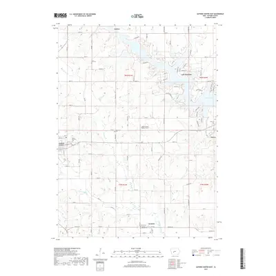
2018 Map of Guthrie Center East
USGS Topo · Published 2018About this map
Guthrie Center and the eastern agricultural landscapes of Valley Township define this portion of central Iowa. The map documents the intricate drainage of the Raccoon River system, where the Middle Raccoon River feeds the extensive residential development of Lake Panorama, while the South Raccoon River and S Raccoon River wind through the southern sections. This area is characterized by a high density of rural burial grounds, including the Valley Township Cem and Victory Union Cem, providing significant touchpoints for genealogical research in these long-established farming townships.
Find a feature on this map
85 named features on this map. Tap any name to fly to it.
Don’t see what you’re looking for? This feature index may not catch every label — zoom into the map to look around manually.
Map Details
Editions of this 2018 Guthrie Center East Map
This is the sole edition of this map. No revisions or reprints were ever made.
Other maps of this area

1952 · Panora
USGS Topo · 1:62,500

1954 · Bagley
USGS Topo · 1:62,500

1954 · Omaha
USGS Topo · 1:250,000

1957 · Omaha
USGS Topo · 1:250,000

1958 · Omaha
USGS Topo · 1:250,000

1971 · Bayard
USGS Topo · 1:24,000

1971 · Casey
USGS Topo · 1:24,000

1971 · Guthrie Center West
USGS Topo · 1:24,000

1982 · Guthrie Center East
USGS Topo · 1:24,000

1982 · Panora
USGS Topo · 1:24,000