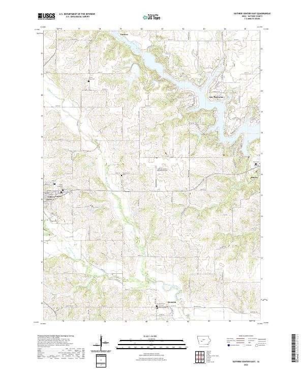
2022 Map of Guthrie Center East
USGS Topo · Published 2022About this map
Guthrie Center and Panora flank the agricultural heart of central Iowa, where the landscape is defined by the winding course of the Middle Raccoon River and South Raccoon River. The map documents a rural network of townships including T80N R31W and T79N R30W, punctuated by modern developments like the residential area surrounding Lake Panorama and the Guthrie County Regional Airport.
Find a feature on this map
69 named features on this map. Tap any name to fly to it.
Don’t see what you’re looking for? This feature index may not catch every label — zoom into the map to look around manually.
Map Details
Editions of this 2022 Guthrie Center East Map
This is the sole edition of this map. No revisions or reprints were ever made.
Other maps of this area

1952 · Panora
USGS Topo · 1:62,500

1954 · Bagley
USGS Topo · 1:62,500

1954 · Omaha
USGS Topo · 1:250,000

1957 · Omaha
USGS Topo · 1:250,000

1958 · Omaha
USGS Topo · 1:250,000

1971 · Bayard
USGS Topo · 1:24,000

1971 · Casey
USGS Topo · 1:24,000

1971 · Guthrie Center West
USGS Topo · 1:24,000

1982 · Guthrie Center East
USGS Topo · 1:24,000

1982 · Panora
USGS Topo · 1:24,000