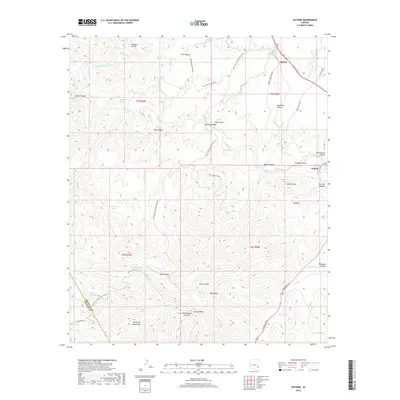
2018 Map of Guthrie
USGS Topo · Published 2018About this map
The San Francisco River and Gila River converge in this high-desert landscape of eastern Arizona, creating a network of steep canyons and thermal features. Near the northern boundary, the community of Clifton sits along the riverbanks, while the southern reaches are dominated by the rugged Black Hills and the Peloncillo Mountains. The confluence near Guthrie is marked by significant topographical relief, including Guthrie Mtn and the prominent Guthrie Peak.
Find a feature on this map
49 named features on this map. Tap any name to fly to it.
Don’t see what you’re looking for? This feature index may not catch every label — zoom into the map to look around manually.
Map Details
Editions of this 2018 Guthrie Map
This is the sole edition of this map. No revisions or reprints were ever made.
Other maps of this area
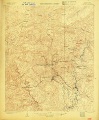
1902 · Clifton
USGS Topo · 1:62,500
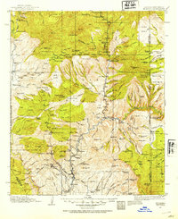
1913 · Morenci
USGS Topo · 1:125,000
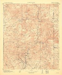
1915 · Morenci
USGS Topo · 1:125,000

1954 · Silver City
USGS Topo · 1:250,000

1954 · Clifton
USGS Topo · 1:250,000

1957 · Clifton
USGS Topo · 1:250,000
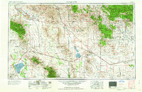
1958 · Silver City
USGS Topo · 1:250,000

1958 · Clifton
USGS Topo · 1:250,000
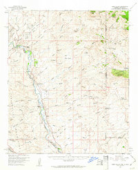
1959 · York Valley
USGS Topo · 1:62,500
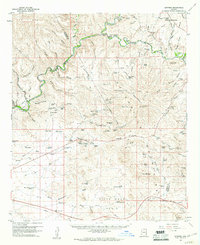
1960 · Guthrie
USGS Topo · 1:62,500