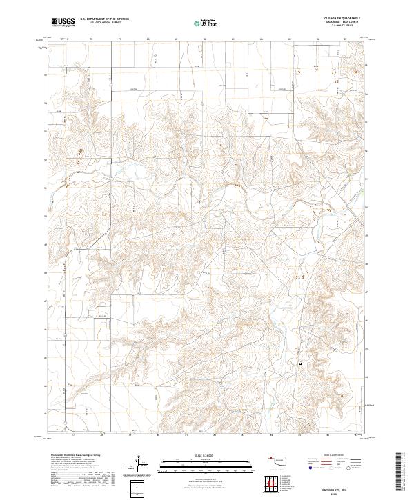
2022 Map of Guymon SW
USGS Topo · Published 2022About this map
Frisco Creek and its smaller tributary Frisco Cr carve a distinct drainage network across this High Plains landscape southwest of Guymon. The area is defined by a rigid section-line road grid, including Mile 31 and Rd AA, which overlays the natural topography of the Coldwater Cr basin. A notable point of interest for genealogists and local historians is Roy Cem, situated in the eastern portion of the survey area. The landscape reflects the expansive agricultural and ranching heritage of the Oklahoma Panhandle, evidenced by named thoroughfares like Hitch Ranch Rd and Hitch Blvd. This 2022 survey captures the modern configuration of rural Texas County, where traditional section roads meet the winding paths of the region's intermittent creek beds.
Find a feature on this map
45 named features on this map. Tap any name to fly to it.
Don’t see what you’re looking for? This feature index may not catch every label — zoom into the map to look around manually.
Map Details
Editions of this 2022 Guymon SW Map
This is the sole edition of this map. No revisions or reprints were ever made.
Other maps of this area

1954 · Perryton
USGS Topo · 1:250,000

1958 · Perryton
USGS Topo · 1:250,000

1968 · Guymon
USGS Topo · 1:24,000

1968 · Guymon SW
USGS Topo · 1:24,000

1968 · Guymon NE
USGS Topo · 1:24,000

1968 · Guymon SE
USGS Topo · 1:24,000

1973 · Goodwell SE
USGS Topo · 1:24,000

1973 · Goodwell NE
USGS Topo · 1:24,000

1974 · Bernstein
USGS Topo · 1:24,000

1974 · Sunray 1 NE
USGS Topo · 1:24,000