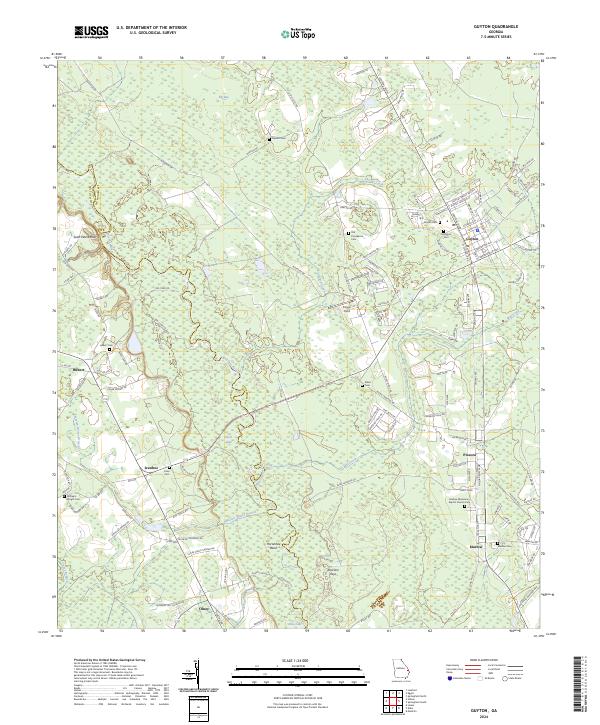
2024 Map of Guyton
USGS Topo · Published 2024About this map
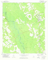
The Ogeechee River carves a winding path through the borderlands of Bulloch and Effingham counties, defining a landscape of low-lying wetlands and sandy bluffs. In this modern survey, the river’s complex hydrology is visible through named features like Saint Peters Bluff, Horseshoe Bend, and the Raccoon Keys. The settlement pattern reflects deep-rooted community ties, with a high concentration of small rural cemeteries and churches, including the Marlow Missionary Baptist Church Cem and the Old Providence Cem, which serve as vital markers for local genealogy.
Find a feature on this map
130 named features on this map. Tap any name to fly to it.
Don’t see what you’re looking for? This feature index may not catch every label — zoom into the map to look around manually.
Map Details
Editions of this 2024 Guyton Map
This is the sole edition of this map. No revisions or reprints were ever made.