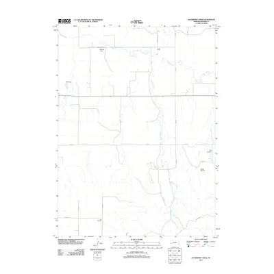
2011 Map of Hackberry Creek
USGS Topo · Published 2011About this map
Pumpkin Creek meanders through the northern plains of Banner County, defining a landscape marked by ranching operations and water management. Modern land use is anchored by the Darnall Feedlot and the artificial reservoir at Muhr Dam, illustrating the continued agricultural importance of this Nebraska panhandle region. The terrain transitions from the broad creek valley toward distinct topographical landmarks such as Chalk Mound and the recesses of Bighorn Gulch.
Find a feature on this map
23 named features on this map. Tap any name to fly to it.
Don’t see what you’re looking for? This feature index may not catch every label — zoom into the map to look around manually.
Map Details
Editions of this 2011 Hackberry Creek Map
This is the sole edition of this map. No revisions or reprints were ever made.
Other maps of this area

1898 · Scotts Bluff
USGS Topo · 1:125,000

1898 · Camp Clarke
USGS Topo · 1:125,000

1954 · Scottsbluff
USGS Topo · 1:250,000

1958 · Scottsbluff
USGS Topo · 1:250,000

1965 · South Bayard
USGS Topo · 1:24,000

1965 · McGrew
USGS Topo · 1:24,000

1973 · Scotts Bluff 4 SE
USGS Topo · 1:24,000

1973 · Scotts Bluff 4 NE
USGS Topo · 1:24,000

1973 · Kimball 1 NE
USGS Topo · 1:24,000

1973 · Potter 2 NW
USGS Topo · 1:24,000