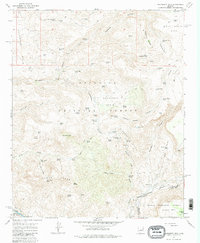
1967 Map of Hackberry Mtn.
USGS Topo · Published 1982About this map
Hackberry Mtn and the surrounding high country of central Arizona are documented here during the mid-1960s, revealing a landscape defined by water management and topography. This area, split between the Coconino National Forest and Tonto National Forest, shows a sophisticated network of upland water features including Nine and a Half Mile Tank, Tenmile Tank, and Wire Corral Tank. The presence of an Aqueduct and Flume near the southern border indicates the importance of water transport in this arid environment. Significant natural landmarks like Needle Rock and The Rocks stand out among the complex drainages of Sycamore Canyon and Dorens Defeat Canyon. The map also captures the boundary where Yavapai Co and Gila Co meet, a key point for local history researchers tracing jurisdictional lines across the Cimarron Hills and Towel Peaks.
Find a feature on this map
82 named features on this map. Tap any name to fly to it.
Don’t see what you’re looking for? This feature index may not catch every label — zoom into the map to look around manually.
Map Details
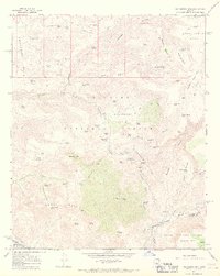
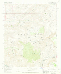
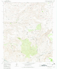
Editions of this 1967 Hackberry Mtn. Map
4 editions found
Other maps of this area

1887 · Verde
USGS Topo · 1:250,000

1892 · Verde
USGS Topo · 1:250,000

1923 · Camp Verde
USGS Topo · 1:125,000

1929 · Turret Peak
USGS Topo · 1:125,000

1932 · Camp Verde
USGS Topo · 1:125,000

1933 · Turret Peak
USGS Topo · 1:125,000

1936 · Camp Verde
USGS Topo · 1:125,000

1954 · Holbrook
USGS Topo · 1:250,000

1957 · Holbrook
USGS Topo · 1:250,000

1958 · Holbrook
USGS Topo · 1:250,000