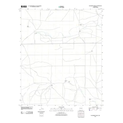
2010 Map of Hackberry Ranch
USGS Topo · Published 2010About this map
Hackberry Ranch sits at the center of this rangeland study, documenting the pastoral and hydrologic character of Chaves County in the early 21st century. The landscape is defined by its intermittent drainage systems, notably the winding course of Rio Felix in the north and Walnut Creek in the south. These seasonal waterways are supplemented by numerous named topographic depressions like Made Draw, Antelope Draw, and Loin Draw, which illustrate the natural runoff patterns of this arid New Mexico region.
Find a feature on this map
16 named features on this map. Tap any name to fly to it.
Don’t see what you’re looking for? This feature index may not catch every label — zoom into the map to look around manually.
Map Details
Editions of this 2010 Hackberry Ranch Map
This is the sole edition of this map. No revisions or reprints were ever made.
Other maps of this area

1949 · Peters Lake
USGS Topo · 1:24,000

1949 · Juan Lake
USGS Topo · 1:24,000

1950 · Dexter West
USGS Topo · 1:24,000

1952 · Hagerman SW
USGS Topo · 1:24,000

1953 · Espuela
USGS Topo · 1:24,000

1954 · Carlsbad
USGS Topo · 1:250,000

1955 · Hope NW
USGS Topo · 1:24,000

1955 · Hackberry Ranch
USGS Topo · 1:24,000

1955 · Kincaid Ranch
USGS Topo · 1:24,000

1955 · Hope NE
USGS Topo · 1:24,000