
1915 Map of Hacker Valley
USGS Topo · Published 1915About this map
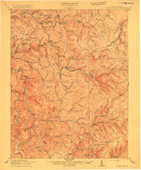
The Little Kanawha River winds through the northern reaches of this 1915 survey, where the Collins Settlement defines the local geography. This high-country landscape in the Allegheny Mountains is marked by an extensive network of small rural schools, reflecting a period of dispersed mountain communities before the mid-century consolidation of education. Institutions like Saffles Retreat School, Beulah School, and the remote Snuffville School served families across these ridges.
Find a feature on this map
109 named features on this map. Tap any name to fly to it.
Don’t see what you’re looking for? This feature index may not catch every label — zoom into the map to look around manually.
Map Details
Editions of this 1915 Hacker Valley Map
4 editions found
Other maps of this area

1889 · Nicholas
USGS Topo · 1:125,000

1891 · Nicholas
USGS Topo · 1:125,000

1891 · Huntersville
USGS Topo · 1:125,000

1893 · Buckhannon
USGS Topo · 1:125,000

1893 · Sutton
USGS Topo · 1:125,000

1894 · Huntersville
USGS Topo · 1:125,000

1896 · Buckhannon
USGS Topo · 1:125,000

1897 · Buckhannon
USGS Topo · 1:125,000

1901 · Nicholas
USGS Topo · 1:125,000

1906 · Burnsville
USGS Topo · 1:62,500