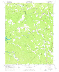
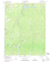
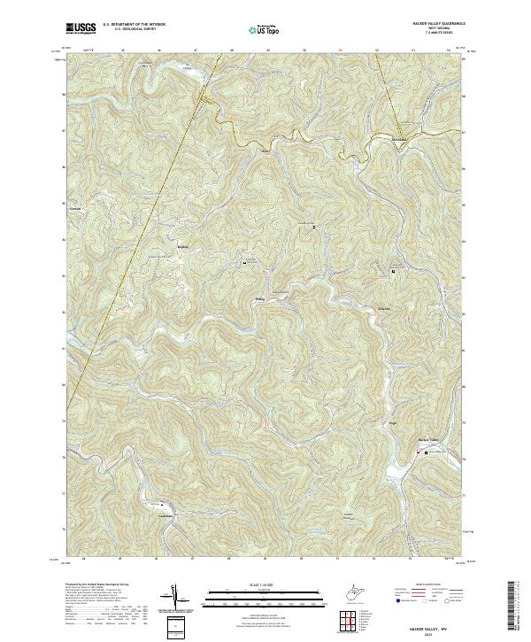
1967 Map of Hacker Valley
USGS Topo · Published 1977About this map
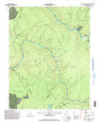
The Little Kanawha River winds through the northern reaches of this central West Virginia landscape, where the borders of Braxton, Lewis, Upshur, and Webster counties converge. Small settlements like Replete, Cleveland, and Hacker Valley are connected by narrow mountain roads and creek-side trails, illustrating the remote rural character of the region in the late 1960s. The geography is defined by deep drainages and ridges, including Holly Mountain and Highbank, with the Holly River State Park established along the Left Fork Holly River. Local spiritual and community life is anchored by small landmarks such as Chestnut Grove Ch, Panther Lick Ch, and the River Cem. While much of the land remains forested, the presence of a prominent Pipeline corridor suggests the influence of resource infrastructure crossing the mountainous terrain.
Find a feature on this map
64 named features on this map. Tap any name to fly to it.
Don’t see what you’re looking for? This feature index may not catch every label — zoom into the map to look around manually.
Map Details
Editions of this 1967 Hacker Valley Map
2 editions found
Historical Maps of Vernon Through Time
21 maps found
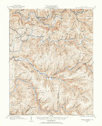
1913 Hacker Valley
Webster County, WV
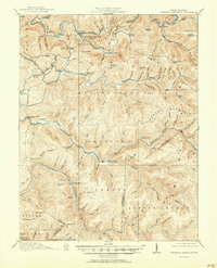
1915 Hacker Valley
Webster County, WV
1915 Webster Springs
Webster County, WV
1918 Webster Springs
Webster County, WV
1966 Webster Springs
Webster County, WV
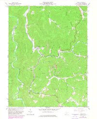
1967 Diana
Webster County, WV
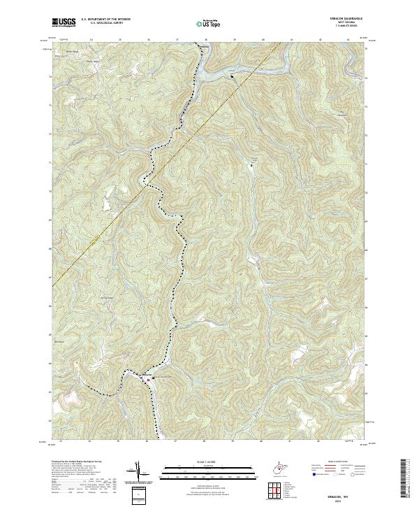
1967 Erbacon
Webster County, WV
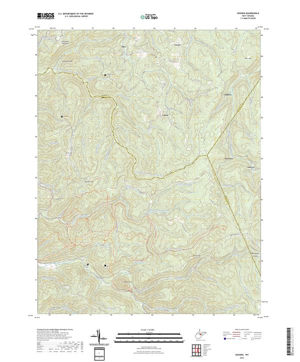
1967 Goshen
Webster County, WV
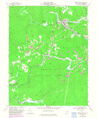
1967 Hacker Valley
Webster County, WV
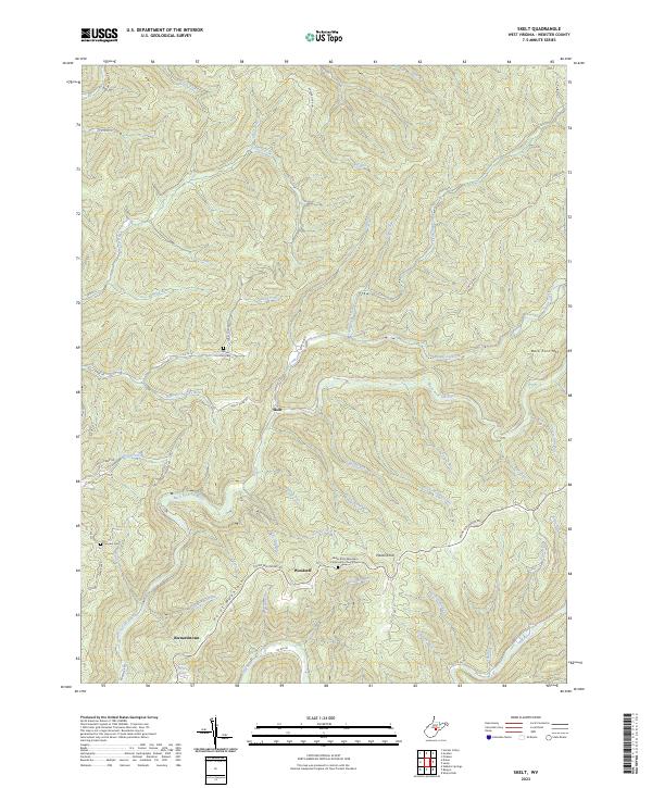
1967 Skelt
Webster County, WV
1967 Webster Springs SW
Webster County, WV
1995 Webster Springs SW
Webster County, WV
1995 Webster Springs
Webster County, WV
1997 Erbacon
Webster County, WV
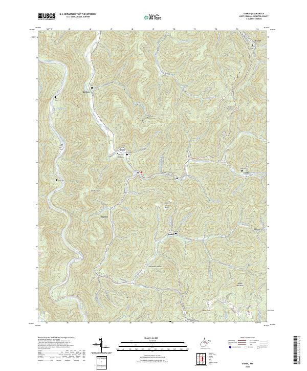
2023 Diana
Webster County, WV
2023 Erbacon
Webster County, WV
2023 Goshen
Webster County, WV
2023 Hacker Valley
Webster County, WV
2023 Skelt
Webster County, WV
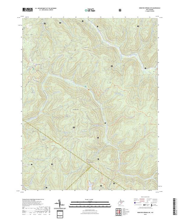
2023 Webster Springs SW
Webster County, WV
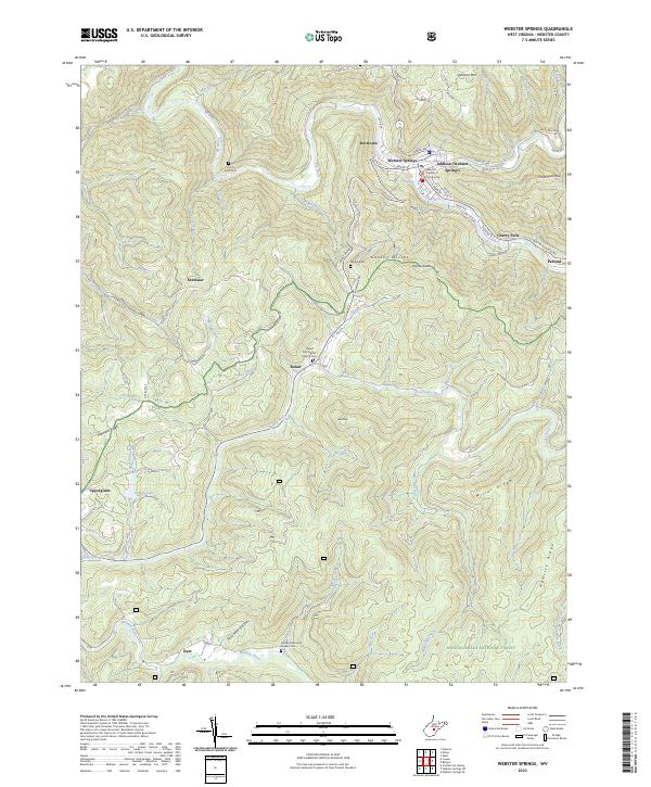
2023 Webster Springs
Webster County, WV