
1948 Map of Hackett
USGS Topo · Published 1978About this map
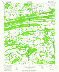
Hackett and the adjacent coal-mining district sit at the intersection of the St Louis San Francisco and Midland Valley rail lines just before the mid-century. This map documents a landscape defined by industry and topography, where multiple strip mines and coal deposits are identified along the base of Pocola Mountain and Gray Mountain. The border between Oklahoma and Arkansas bisects the terrain, separating the settlement of Rock Island from the larger community of Hackett. Local genealogy is anchored by landmarks like Mt View Cemetery and the Old Union Church to the south. The natural drainage of the James Fork and its tributaries, including Ivy Branch and Cedar Creek, wind through the southern hills near Mississippi Mountain, illustrating the varied relief of the Le Flore and Sebastian County line.
Find a feature on this map
32 named features on this map. Tap any name to fly to it.
Don’t see what you’re looking for? This feature index may not catch every label — zoom into the map to look around manually.
Map Details
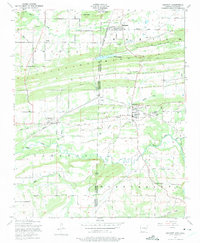
Editions of this 1948 Hackett Map
3 editions found
Other maps of this area

1879 · Fort Smith
USGS Topo · 1:62,500

1887 · Van Buren
USGS Topo · 1:62,500

1887 · Greenwood
USGS Topo · 1:62,500

1890 · Fort Smith
USGS Topo · 1:125,000

1900 · Sallisaw
USGS Topo · 1:125,000

1911 · Sallisaw
USGS Topo · 1:125,000

1943 · Fort Smith
USGS Topo · 1:125,000

1946 · Fort Smith
USGS Topo · 1:250,000

1947 · Van Buren
USGS Topo · 1:62,500

1947 · Greenwood
USGS Topo · 1:62,500