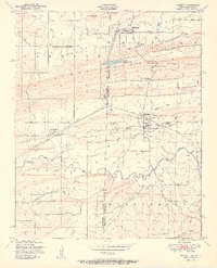
1951 Map of Hackett
USGS Topo · Published 1951About this map
Industrial coal extraction and rail transport define the landscape along the border of Oklahoma and Arkansas in the mid-century. The St Louis San Francisco railroad and the Midland Valley corridor connect the mining settlements of Bonanza, Hackett, and Rock Island. Numerous Strip mines, coal deposits, and a Conveyor system near Rock Island illustrate the region's reliance on the earth's resources.
Find a feature on this map
30 named features on this map. Tap any name to fly to it.
Don’t see what you’re looking for? This feature index may not catch every label — zoom into the map to look around manually.
Map Details
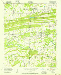
Editions of this 1951 Hackett Map
2 editions found
Other maps of this area

1879 · Fort Smith
USGS Topo · 1:62,500

1887 · Van Buren
USGS Topo · 1:62,500

1887 · Greenwood
USGS Topo · 1:62,500

1890 · Fort Smith
USGS Topo · 1:125,000

1900 · Sallisaw
USGS Topo · 1:125,000

1911 · Sallisaw
USGS Topo · 1:125,000

1943 · Fort Smith
USGS Topo · 1:125,000

1946 · Fort Smith
USGS Topo · 1:250,000

1947 · Van Buren
USGS Topo · 1:62,500

1947 · Greenwood
USGS Topo · 1:62,500