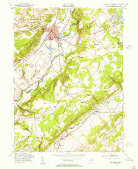
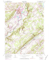
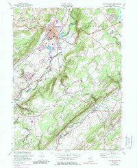
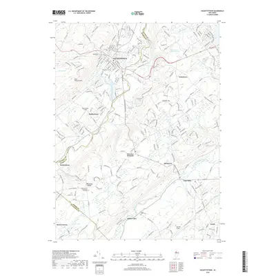
1953 Map of Hackettstown
USGS Topo · Published 1955About this map
The Musconetcong River valley defines this mid-century portrait of Hackettstown, where the local economy and culture center around the Lackawanna Railroad and the historic campus of Centenary College. The map reveals a post-war landscape of established settlements and recreational sites, from the prominent State Fish Hatchery and Musconetcong Country Club to more remote hilltop hamlets like Pleasant Grove and Drakestown.
Find a feature on this map
54 named features on this map. Tap any name to fly to it.
Don’t see what you’re looking for? This feature index may not catch every label — zoom into the map to look around manually.
Map Details
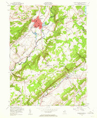
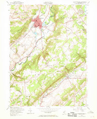
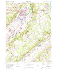
Editions of this 1953 Hackettstown Map
6 editions found
Historical Maps of Mount Olive Through Time
11 maps found

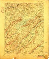
1888 Hackettstown
Warren County, NJ

1894 Hackettstown
Warren County, NJ
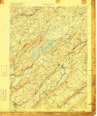
1898 Hackettstown
Warren County, NJ
1905 Hackettstown
Warren County, NJ
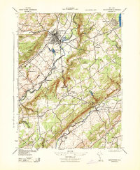
1943 Hackettstown
Warren County, NJ
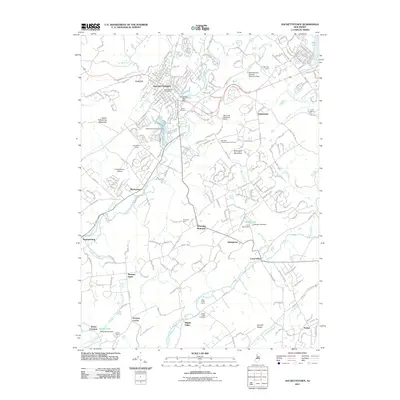
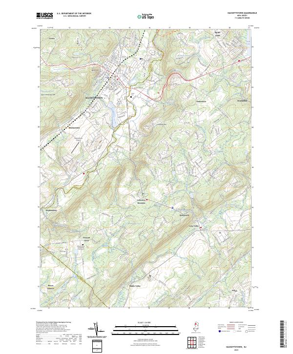
1953 Hackettstown
Warren County, NJ
2011 Hackettstown
Warren County, NJ
2014 Hackettstown
Warren County, NJ
2016 Hackettstown
Warren County, NJ
2019 Hackettstown
Warren County, NJ
2023 Hackettstown
Warren County, NJ
Featured Locations
- Lebanon Township, NJ
- Washington Township, NJ
- Mount Olive, NJ
- Hackettstown, NJ
- Long Valley, Washington Township