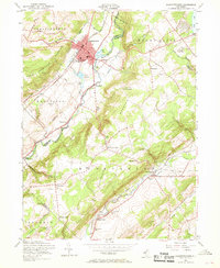
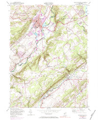
1953 Map of Hackettstown
USGS Topo · Published 1968About this map
The Musconetcong River carves through this mid-century landscape, separating Hackettstown from the rising slopes of Pohatcong Mountain. This 1953 revision reveals a region defined by its diverse water uses, from the extensive State Fish Hatchery ponds and the Musconetcong Country Club to the industrial legacy of the Abandoned Delaware Canal. The town center of Hackettstown is well-developed, anchored by the Centenary College campus and the local Town Hall.
Find a feature on this map
57 named features on this map. Tap any name to fly to it.
Don’t see what you’re looking for? This feature index may not catch every label — zoom into the map to look around manually.
Map Details
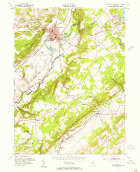
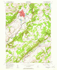
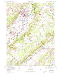
Editions of this 1953 Hackettstown Map
6 editions found
Other maps of this area

1888 · Hackettstown
USGS Topo · 1:62,500

1888 · Lake Hopatcong
USGS Topo · 1:62,500

1890 · High Bridge
USGS Topo · 1:62,500

1891 · Somerville
USGS Topo · 1:62,500

1893 · Somerville
USGS Topo · 1:62,500

1894 · Hackettstown
USGS Topo · 1:62,500

1894 · Lake Hopatcong
USGS Topo · 1:62,500

1898 · Lake Hopatcong
USGS Topo · 1:62,500

1898 · Hackettstown
USGS Topo · 1:62,500

1898 · High Bridge
USGS Topo · 1:62,500
Featured Places
- Mount Olive, NJ
- Hackettstown, NJ
- Long Valley, Washington Township
- Lebanon Township, NJ
- Washington Township, NJ