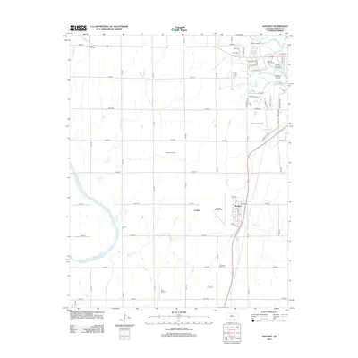
2012 Map of Hackney
USGS Topo · Published 2012About this map
Winfield Junction and the small community of Hackney define this Cowley County landscape where the Walnut River meanders toward its confluence with the Arkansas River. The 2012 survey illustrates a transition between the established infrastructure of the north and the agricultural expanses to the south, marked by active energy production in the Graham Oil Field and Stayton South Oil Field. Local history is deeply embedded in the rural grid, evidenced by several family and community burial grounds including Tannehill Cem, Mount Zion Cem, and Pleasant Valley Cem. Civic and recreational hubs are concentrated near the northern boundary, featuring the Winfield Fairgrounds Speedway and the Kickapoo Corral. Aviation interests are represented by the centrally located Strother Field Airport and the smaller Tyler Airport further south, highlighting the region's importance as a regional transportation corridor.
Find a feature on this map
68 named features on this map. Tap any name to fly to it.
Don’t see what you’re looking for? This feature index may not catch every label — zoom into the map to look around manually.
Map Details
Editions of this 2012 Hackney Map
This is the sole edition of this map. No revisions or reprints were ever made.
Other maps of this area

1889 · Burden
USGS Topo · 1:125,000

1890 · Wellington
USGS Topo · 1:125,000

1955 · Wichita
USGS Topo · 1:250,000

1958 · Wichita
USGS Topo · 1:250,000

1965 · Silverdale
USGS Topo · 1:24,000

1965 · Arkansas City
USGS Topo · 1:24,000

1965 · Adamsville
USGS Topo · 1:24,000

1965 · Geuda Springs
USGS Topo · 1:24,000

1965 · Winfield
USGS Topo · 1:24,000
1965 · New Salem
USGS Topo · 1:24,000