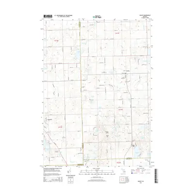
2014 Map of Hadley
USGS Topo · Published 2014About this map
The settlement of Hadley and its surrounding glacial terrain define this section of Lapeer County, where the Hadley Hills rise to notable elevations such as Pinnacle Point. The landscape is densely pocketed with small lakes and kettle ponds, including Big Fish Lake, Lake Lapeer, and the serpentine Shinanguag Lake near Goodrich. This 2014 survey documents a mature rural network of roads like Pratt Rd and Hadley Rd that connect several early burial grounds, including Hadley Village Cem, Sanborn Cem, and Green Corners Cem. The map reveals how the modern residential developments around Lake Lapeer contrast with the traditional agricultural tracts and marshy lowlands near Kearsley Cr and Hasler Cr. This interplay between recreation-focused lakeside living and the established farming community is clearly visible through the density of structures and the distribution of local schools and churches in the town centers.
Find a feature on this map
133 named features on this map. Tap any name to fly to it.
Don’t see what you’re looking for? This feature index may not catch every label — zoom into the map to look around manually.
Map Details
Editions of this 2014 Hadley Map
This is the sole edition of this map. No revisions or reprints were ever made.
Other maps of this area

1920 · Flint
USGS Topo · 1:62,500

1920 · Holly
USGS Topo · 1:62,500

1922 · Holly
USGS Topo · 1:62,500

1922 · Flint
USGS Topo · 1:62,500

1943 · Holly
USGS Topo · 1:62,500

1943 · Flint
USGS Topo · 1:62,500

1943 · Ortonville
USGS Topo · 1:24,000

1943 · Oxford
USGS Topo · 1:24,000

1943 · Metamora
USGS Topo · 1:24,000

1945 · Oxford
USGS Topo · 1:24,000