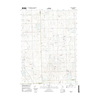
2017 Map of Hadley
USGS Topo · Published 2017About this map
Hadley and the surrounding township are defined by a complex mosaic of glacial kettle lakes and moraines, illustrated here as they appeared in 2017. The landscape transition from Goodrich in Genesee County toward the Hadley Hills in Lapeer County reveals a topography dense with water bodies, including Hasler Lake, Hemingway Lake, and the expansive Lake Lapeer. This area is particularly rich in genealogical sites, with several well-documented burial grounds such as Hadley Village Cem, Sanborn Cem, and Green Corners Cem providing a clear spatial record for family historians.
Find a feature on this map
136 named features on this map. Tap any name to fly to it.
Don’t see what you’re looking for? This feature index may not catch every label — zoom into the map to look around manually.
Map Details
Editions of this 2017 Hadley Map
This is the sole edition of this map. No revisions or reprints were ever made.
Other maps of this area

1920 · Flint
USGS Topo · 1:62,500

1920 · Holly
USGS Topo · 1:62,500

1922 · Holly
USGS Topo · 1:62,500

1922 · Flint
USGS Topo · 1:62,500

1943 · Holly
USGS Topo · 1:62,500

1943 · Flint
USGS Topo · 1:62,500

1943 · Ortonville
USGS Topo · 1:24,000

1943 · Oxford
USGS Topo · 1:24,000

1943 · Metamora
USGS Topo · 1:24,000

1945 · Oxford
USGS Topo · 1:24,000