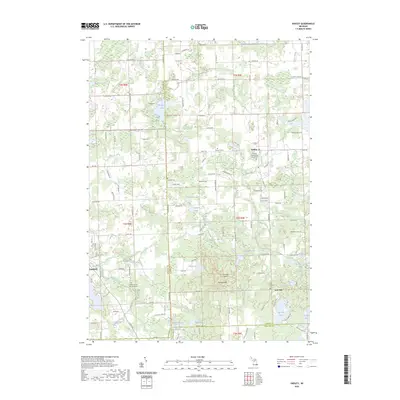
2023 Map of Hadley
USGS Topo · Published 2023About this map
Hadley Hills and Pinnacle Point dominate the southern portion of this Lapeer County landscape, where the terrain breaks into a complex network of glacial kettle lakes and wetlands. The settlement of Hadley sits at the intersection of Hadley Rd and Pratt Rd, serving as a central point for the surrounding agricultural and residential parcels. This modern survey illustrates the persistent rural character of the region, defined by its numerous named water bodies like Big Fish Lake, Tody Lake, and Hasley Lake.
Find a feature on this map
132 named features on this map. Tap any name to fly to it.
Don’t see what you’re looking for? This feature index may not catch every label — zoom into the map to look around manually.
Map Details
Editions of this 2023 Hadley Map
This is the sole edition of this map. No revisions or reprints were ever made.
Other maps of this area

1920 · Flint
USGS Topo · 1:62,500

1920 · Holly
USGS Topo · 1:62,500

1922 · Holly
USGS Topo · 1:62,500

1922 · Flint
USGS Topo · 1:62,500

1943 · Holly
USGS Topo · 1:62,500

1943 · Flint
USGS Topo · 1:62,500

1943 · Ortonville
USGS Topo · 1:24,000

1943 · Oxford
USGS Topo · 1:24,000

1943 · Metamora
USGS Topo · 1:24,000

1945 · Oxford
USGS Topo · 1:24,000