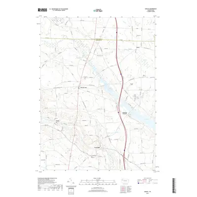
2019 Map of Hadley
USGS Topo · Published 2019About this map
Sheakleyville and Hadley serve as the primary nodes of settlement along this stretch of the Little Shenango River in Mercer County. The landscape is defined by its complex hydrology, where several runs and creeks, including Sandy Cr and Calvin Clark Run, converge toward the river valley. A significant portion of the eastern terrain is occupied by the expansive waters of Lake Wilhelm, which borders Schofield Corners and the wetland environment of Cranberry Swamp.
Find a feature on this map
98 named features on this map. Tap any name to fly to it.
Don’t see what you’re looking for? This feature index may not catch every label — zoom into the map to look around manually.
Map Details
Editions of this 2019 Hadley Map
This is the sole edition of this map. No revisions or reprints were ever made.
Other maps of this area

1906 · Linesville
USGS Topo · 1:62,500

1908 · Shenango
USGS Topo · 1:62,500

1908 · Linesville
USGS Topo · 1:62,500

1911 · Stoneboro
USGS Topo · 1:62,500

1913 · Stoneboro
USGS Topo · 1:62,500

1923 · Meadville
USGS Topo · 1:62,500

1925 · Meadville
USGS Topo · 1:62,500

1943 · Meadville
USGS Topo · 1:62,500

1943 · Stoneboro
USGS Topo · 1:62,500

1950 · Cleveland
USGS Topo · 1:250,000
Featured Places
- New Vernon Township, PA
- Sheakleyville, PA
- Perry Township, PA
- Clarks Mills, Perry Township
- McQuiston Corners, Deer Creek Township