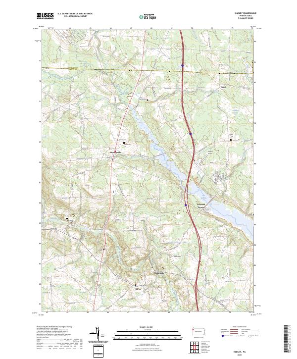
2023 Map of Hadley
USGS Topo · Published 2023About this map
Sheakleyville sits at the heart of this northwestern Pennsylvania landscape, where the terrain transitions from the headwaters of Sandy Creek to the broader valley of the Little Shenango River. This modern survey documents the area's established rural character, defined by the winding waters of Lake Wilhelm and its surrounding wetlands, including Cranberry Swamp. The map provides significant detail for genealogists, marking numerous family-named landmarks and burial grounds such as Peterson Cem, Caldwell Cem, and Maple Grove Cem. Small communities like Clarks Mills, Hadley, and Sunol are connected by a network of township roads and historical routes like Old Perry Hwy. The presence of Fletcher Airport and several modern creek crossings alongside older settlements illustrates the enduring transport and water-management patterns of the region.
Find a feature on this map
108 named features on this map. Tap any name to fly to it.
Don’t see what you’re looking for? This feature index may not catch every label — zoom into the map to look around manually.
Map Details
Editions of this 2023 Hadley Map
This is the sole edition of this map. No revisions or reprints were ever made.
Other maps of this area

1906 · Linesville
USGS Topo · 1:62,500

1908 · Shenango
USGS Topo · 1:62,500

1908 · Linesville
USGS Topo · 1:62,500

1911 · Stoneboro
USGS Topo · 1:62,500

1913 · Stoneboro
USGS Topo · 1:62,500

1923 · Meadville
USGS Topo · 1:62,500

1925 · Meadville
USGS Topo · 1:62,500

1943 · Meadville
USGS Topo · 1:62,500

1943 · Stoneboro
USGS Topo · 1:62,500

1950 · Cleveland
USGS Topo · 1:250,000
Featured Places
- New Vernon Township, PA
- Sheakleyville, PA
- Fairfield Township, PA
- Greenwood Township, PA
- Perry Township, PA