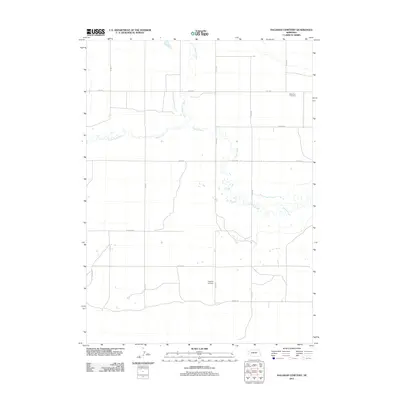
2011 Map of Hagaman Cemetery
USGS Topo · Published 2011About this map
Hagaman Cemetery serves as a quiet landmark within this rural expanse of Box Butte County, marking a site of local genealogical importance. The landscape is defined by the winding course of Snake Creek, which meanders across the central plains, joined by the northern drainage of Point of Rocks Creek. This area illustrates the organized section-line road grid characteristic of the High Plains, with routes such as Otoe Rd and Rock Rd providing the primary framework for movement between isolated homesteads and agricultural operations like the West Pine Tree Farm. The sparse distribution of named features underscores the vast, open nature of this Nebraska territory, where water sources and family burial grounds provide the most significant anchors for human history and settlement patterns.
Find a feature on this map
15 named features on this map. Tap any name to fly to it.
Don’t see what you’re looking for? This feature index may not catch every label — zoom into the map to look around manually.
Map Details
Editions of this 2011 Hagaman Cemetery Map
This is the sole edition of this map. No revisions or reprints were ever made.
Other maps of this area

1896 · Browns Creek
USGS Topo · 1:125,000

1898 · Camp Clarke
USGS Topo · 1:125,000

1899 · Browns Creek
USGS Topo · 1:125,000

1947 · Bronco Lake
USGS Topo · 1:24,000

1948 · Hemingford 4 SW
USGS Topo · 1:24,000

1948 · Hemingford 4 SE
USGS Topo · 1:24,000

1948 · Berea Creek West
USGS Topo · 1:24,000

1948 · Hemingford 4 NE
USGS Topo · 1:24,000

1948 · Hemingford 4 NW
USGS Topo · 1:24,000

1949 · Lynn
USGS Topo · 1:62,500