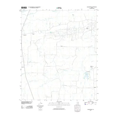
2010 Map of Hagansport
USGS Topo · Published 2010About this map
Hagansport serves as a central hub in this rural landscape, which is defined by a dense network of watercourses and county roads. The Sulphur River marks the northern boundary, while a complex drainage system including Cobb Jones Creek, White Oak Creek, and Bear Pen Creek flows through the territory. Several family and community burial grounds, such as Wims Cemetery and Prairie Academy Cemetery, provide significant data points for genealogical research across this part of Franklin County. The presence of Romal Lake and its associated dam, alongside the uniquely titled Texas No Name Number 34 Dam, highlights the local water management infrastructure. Small settlements like Lakeview and Daphne are connected by a grid of routes such as Co RD 2120, reflecting the enduring agricultural and residential patterns of the early 21st century.
Find a feature on this map
33 named features on this map. Tap any name to fly to it.
Don’t see what you’re looking for? This feature index may not catch every label — zoom into the map to look around manually.
Map Details
Editions of this 2010 Hagansport Map
This is the sole edition of this map. No revisions or reprints were ever made.
Other maps of this area

1953 · Texarkana
USGS Topo · 1:250,000

1956 · Texarkana
USGS Topo · 1:250,000

1963 · Mitchell Creek
USGS Topo · 1:24,000

1963 · Cunningham
USGS Topo · 1:24,000

1964 · Mount Vernon
USGS Topo · 1:24,000

1964 · Cuthand
USGS Topo · 1:24,000

1964 · Saltillo
USGS Topo · 1:24,000

1964 · Talco
USGS Topo · 1:24,000

1964 · Hagansport
USGS Topo · 1:24,000

1964 · Bogata
USGS Topo · 1:24,000