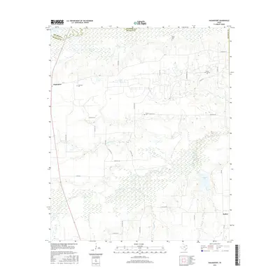
2016 Map of Hagansport
USGS Topo · Published 2016About this map
The Sulphur River marks the northern boundary of this Northeast Texas landscape, where the border between Red River and Franklin counties follows the river's winding course. This region is defined by a dense network of creek drainages, including White Oak Cr, Cobb Jones Cr, and Bear Pen Cr, which thread through the low-lying terrain. The settlement of Hagansport sits at the intersection of FM 71 and Co RD NW 1050, serving as a focal point for the surrounding rural community. Genealogists will find significant value in the documentation of local burial sites, such as the Wimms Family Cem, Prairie Academy Cem, and Murphy Cem. The southern portion of the map transitions toward the small community of Daphne, while industrial activity is noted via Exxon Mobile Rd north of Lewis Cr.
Find a feature on this map
37 named features on this map. Tap any name to fly to it.
Don’t see what you’re looking for? This feature index may not catch every label — zoom into the map to look around manually.
Map Details
Editions of this 2016 Hagansport Map
This is the sole edition of this map. No revisions or reprints were ever made.
Other maps of this area

1953 · Texarkana
USGS Topo · 1:250,000

1956 · Texarkana
USGS Topo · 1:250,000

1963 · Mitchell Creek
USGS Topo · 1:24,000

1963 · Cunningham
USGS Topo · 1:24,000

1964 · Mount Vernon
USGS Topo · 1:24,000

1964 · Cuthand
USGS Topo · 1:24,000

1964 · Saltillo
USGS Topo · 1:24,000

1964 · Talco
USGS Topo · 1:24,000

1964 · Hagansport
USGS Topo · 1:24,000

1964 · Bogata
USGS Topo · 1:24,000