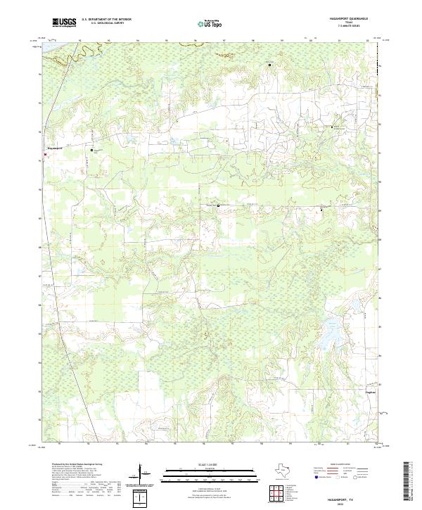
2022 Map of Hagansport
USGS Topo · Published 2022About this map
The Sulphur River and its extensive bottomlands dominate the northern border of this territory, where the Red River Co and Franklin Co lines meet. The landscape is defined by a dense network of tributaries including White Oak Cr, Cobb Jones Cr, and Lick Creek, which create a complex wetland environment interspersed with small lakes like Terry Lake and Romal Lake. Settlement is concentrated along the east-west corridor of FM 71, anchored by the community of Hagansport.
Find a feature on this map
40 named features on this map. Tap any name to fly to it.
Don’t see what you’re looking for? This feature index may not catch every label — zoom into the map to look around manually.
Map Details
Editions of this 2022 Hagansport Map
This is the sole edition of this map. No revisions or reprints were ever made.
Other maps of this area

1953 · Texarkana
USGS Topo · 1:250,000

1956 · Texarkana
USGS Topo · 1:250,000

1963 · Mitchell Creek
USGS Topo · 1:24,000

1963 · Cunningham
USGS Topo · 1:24,000

1964 · Mount Vernon
USGS Topo · 1:24,000

1964 · Cuthand
USGS Topo · 1:24,000

1964 · Saltillo
USGS Topo · 1:24,000

1964 · Talco
USGS Topo · 1:24,000

1964 · Hagansport
USGS Topo · 1:24,000

1964 · Bogata
USGS Topo · 1:24,000