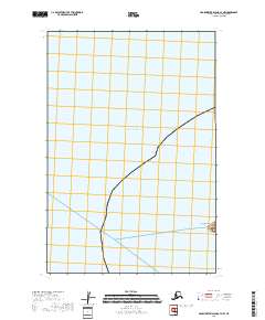
2018 Map of Hagemeister Island C-7 NW
USGS Topo · Published 2018About this map
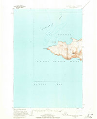
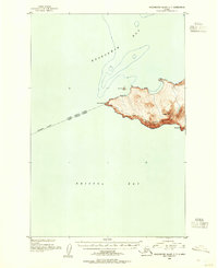
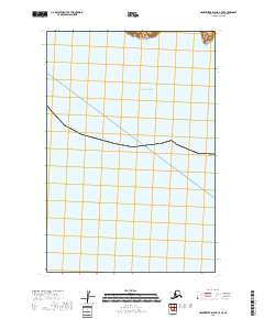
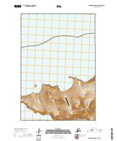
Cape Newenham forms a small terrestrial anchor in the southeast corner of this coastal survey, where the Alaskan landmass meets the open waters of the Pacific Ocean. The map is dominated by the marine environment of the Togiak National Wildlife Refuge area, showing the transition from the rugged shoreline of the mainland to the vast expanse of the sea. Surveyed as part of the t17s r78w and t18s r78w township grids, the document illustrates the precise boundary lines established for maritime and land management. The lack of inland development or settlements reflects the extreme isolation and protected nature of this coastal wilderness in the Bethel Census Area.
Find a feature on this map
4 named features on this map. Tap any name to fly to it.
Don’t see what you’re looking for? This feature index may not catch every label — zoom into the map to look around manually.
Map Details
Editions of this 2018 Hagemeister Island C-7 NW Map
This is the sole edition of this map. No revisions or reprints were ever made.