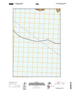
2018 Map of Hagemeister Island C-7 SE
USGS Topo · Published 2018About this map
The coastal expanse of the Pacific Ocean dominates this maritime survey of the Bethel region in the Bethel Census Area. The map is defined by its sparse coastal topography and significant hydrographic detail, highlighting the remote nature of the Alaska coastline where land meets the open sea. In the northeast corner of the sheet, the lone terrestrial landmark of Oracle Mtn rises above the shoreline, providing a singular point of navigation for mariners and a geographic anchor for researchers tracing the physical evolution of the Pacific Ocean coastline. This 2018 edition reveals the surveyed boundaries of t18s r78w and t18s r77w, documenting the modern Public Land Survey System grid across this uninhabited stretch of the Alaskan coast.
Find a feature on this map
4 named features on this map. Tap any name to fly to it.
Don’t see what you’re looking for? This feature index may not catch every label — zoom into the map to look around manually.
Map Details
Editions of this 2018 Hagemeister Island C-7 SE Map
This is the sole edition of this map. No revisions or reprints were ever made.
Other maps of this area
1947 · Hagemeister Island C-7
USGS Topo · 1:63,360

1948 · Hagemeister Island C-6
USGS Topo · 1:63,360

1951 · Hagemeister Island
USGS Topo · 1:250,000
1952 · Hagemeister Island C-7
USGS Topo · 1:63,360

1952 · Hagemeister Island C-6
USGS Topo · 1:63,360

1957 · Hagemeister Island
USGS Topo · 1:250,000
2018 · Hagemeister Island C-6 NW
USGS Topo · 1:25,000
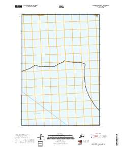
2018 · Hagemeister Island C-6 SW
USGS Topo · 1:25,000
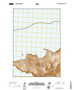
2018 · Hagemeister Island C-7 NE
USGS Topo · 1:25,000
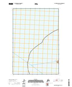
2018 · Hagemeister Island C-7 NW
USGS Topo · 1:25,000