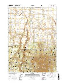
2017 Map of Hager Mountain
USGS Topo · Published 2017About this map
The Fremont National Forest dominates this high-desert landscape in Lake County, where the transition between timbered peaks and open flats is managed through a complex network of forest development roads. Water management is a primary feature of the terrain, visible through the Silver L Canal and several specialized reservoirs like Airstrip Reservoir and Silver Cr Reservoir. Remote infrastructure, including the Silver Lake Forest Service Strip and the Mahogany Mountain-Airport, underscores the isolation and the logistical needs of fire management and forestry in this part of Oregon.
Find a feature on this map
34 named features on this map. Tap any name to fly to it.
Don’t see what you’re looking for? This feature index may not catch every label — zoom into the map to look around manually.
Map Details
Editions of this 2017 Hager Mountain Map
This is the sole edition of this map. No revisions or reprints were ever made.
Other maps of this area

1889 · Klamath
USGS Topo · 1:250,000

1894 · Klamath
USGS Topo · 1:250,000

1955 · Crescent
USGS Topo · 1:250,000

1955 · Klamath Falls
USGS Topo · 1:250,000

1957 · Crescent
USGS Topo · 1:250,000

1958 · Crescent
USGS Topo · 1:250,000

1958 · Klamath Falls
USGS Topo · 1:250,000

1960 · Sycan Marsh
USGS Topo · 1:62,500

1966 · Foster Butte
USGS Topo · 1:24,000

1968 · Silver Lake
USGS Topo · 1:24,000