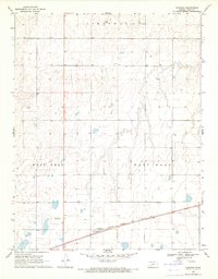
1969 Map of Haggard
USGS Topo · Published 1971About this map
The railroad community of Haggard sits at the center of this High Plains landscape, situated along the Atchison Topeka and Santa Fe line. The map reveals a highly structured agricultural environment, where township boundaries like Cimarron meet the broad depressions of West Hess and East Hess. A singular modern landmark, the Radio Tower (KTVC), rises above the section lines and numerous irrigation wells that dot the terrain. This late-1960s survey illustrates a region defined by precise land management, with fine red dashed lines indicating fence and field divisions preserved from aerial photogrammetry. The concentration of water resources and transportation infrastructure highlights the importance of the rail corridor in sustaining the agrarian economy of Gray County.
Find a feature on this map
7 named features on this map. Tap any name to fly to it.
Don’t see what you’re looking for? This feature index may not catch every label — zoom into the map to look around manually.
Map Details
Editions of this 1969 Haggard Map
This is the sole edition of this map. No revisions or reprints were ever made.
Other maps of this area

1892 · Dodge
USGS Topo · 1:125,000

1955 · Dodge City
USGS Topo · 1:250,000

1958 · Dodge City
USGS Topo · 1:250,000

1959 · Dodge City
USGS Topo · 1:250,000

1968 · Montezuma
USGS Topo · 1:24,000

1968 · Ingalls
USGS Topo · 1:24,000

1968 · Montezuma NW
USGS Topo · 1:24,000

1968 · Cimarron
USGS Topo · 1:24,000
1968 · Dodge City SW
USGS Topo · 1:24,000
1969 · Ensign
USGS Topo · 1:24,000