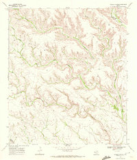
1969 Map of Hagler Canyon
USGS Topo · Published 1972About this map
The complex drainages of the Trans-Pecos landscape define this 1960s study of the Terrell Co Brewster Co boundary. The Southern Pacific rail line cuts across the northeast corner of the quadrangle, following the natural passage of Putman Canyon. The map reveals a highly eroded topography characterized by deeply incised features like Whitely Canyon and Hagler Canyon, which converge into larger systems that drain toward the south.
Find a feature on this map
9 named features on this map. Tap any name to fly to it.
Don’t see what you’re looking for? This feature index may not catch every label — zoom into the map to look around manually.
Map Details
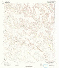
Editions of this 1969 Hagler Canyon Map
2 editions found
Other maps of this area

1918 · Bullis Gap
USGS Topo · 1:62,500

1918 · Indian Wells
USGS Topo · 1:62,500

1920 · Longfellow
USGS Topo · 1:125,000

1928 · Sanderson
USGS Topo · 1:125,000

1954 · Fort Stockton
USGS Topo · 1:250,000

1958 · Fort Stockton
USGS Topo · 1:250,000

1959 · Emory Peak
USGS Topo · 1:250,000

1965 · Emory Peak
USGS Topo · 1:250,000

1968 · Big Brindle Canyon
USGS Topo · 1:24,000

1968 · Ninemile Ranch
USGS Topo · 1:24,000