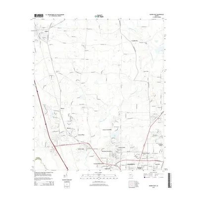
2014 Map of Hahira East
USGS Topo · Published 2014About this map
The Withlacoochee River and Twin Cr define the drainage of this Lowndes County landscape, where northern agricultural fields meet the suburban expansion of north Valdosta. The map documents a corridor of growth along Us-41 and the GS & F RR, connecting established centers like Hahira and Mineola with newer residential developments such as Barko Village and Academy Acres. In the northeast, Franklinville sits near the river crossing at Tyler Bridge, while family history is anchored by sites like Passmore Cem and Hodges Cem. The southern portion of the sheet shows the densifying neighborhoods of Windsor Park, Northwood, and Highland Heights, illustrating the 21st-century evolution of the area from rural timber and farm lands into a integrated part of the Valdosta metropolitan fabric.
Find a feature on this map
192 named features on this map. Tap any name to fly to it.
Don’t see what you’re looking for? This feature index may not catch every label — zoom into the map to look around manually.
Map Details
Editions of this 2014 Hahira East Map
This is the sole edition of this map. No revisions or reprints were ever made.
Other maps of this area

1953 · Waycross
USGS Topo · 1:250,000

1954 · Valdosta
USGS Topo · 1:250,000

1958 · Valdosta
USGS Topo · 1:250,000

1958 · Waycross
USGS Topo · 1:250,000

1959 · Valdosta
USGS Topo · 1:250,000

1961 · Hahira East
USGS Topo · 1:24,000

1961 · Valdosta
USGS Topo · 1:24,000

1961 · Hahira West
USGS Topo · 1:24,000

1961 · Ousley
USGS Topo · 1:24,000

1971 · Indianola
USGS Topo · 1:24,000