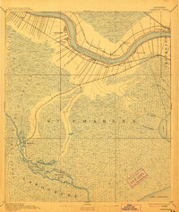
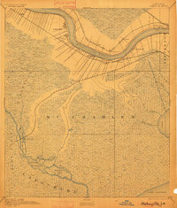
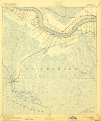
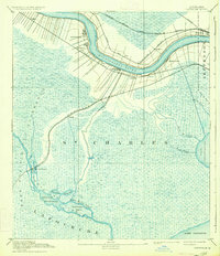
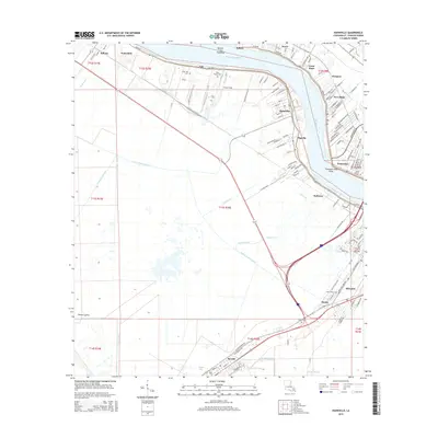
1891 Map of Hahnville
USGS Topo · Published 1912About this map
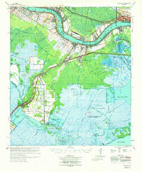
The Mississippi River creates a dramatic winding corridor through this late nineteenth-century landscape, flanked by a dense concentration of riverfront settlements and early rail infrastructure. Surveyed in 1890, the map illustrates the critical nexus between river transport and emerging rail lines, including the Louisville New Orleans and Texas Railroad and the Texas and Pacific Railroad. Small riverside communities like Hahnville, Luling, and Pecan Grove are positioned along the natural levees, while the vast southern reaches transition into the marshy expanse of the Grand Prairie Des Allemands. This transition is marked by a complex network of waterways, including Bayou Des Allemands and Bayou Black Prince, which feed into Lake Salvador and Lake Cataouatche, revealing a region defined by its fluid boundaries between land and water.
Find a feature on this map
34 named features on this map. Tap any name to fly to it.
Don’t see what you’re looking for? This feature index may not catch every label — zoom into the map to look around manually.
Map Details
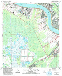
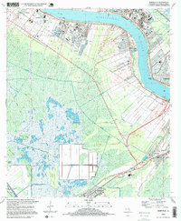
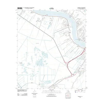
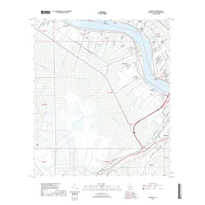
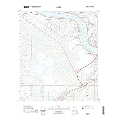
Editions of this 1891 Hahnville Map
5 editions found

Historical Maps of Kenner Through Time
13 maps found
1891 Hahnville
St. Charles Parish, LA
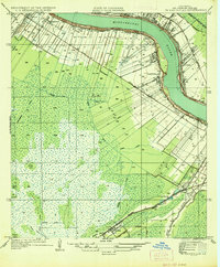
1936 Hahnville
St. Charles Parish, LA
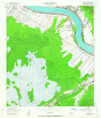
1952 Hahnville
St. Charles Parish, LA
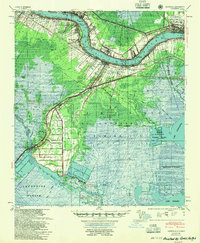
1955 Hahnville
St. Charles Parish, LA
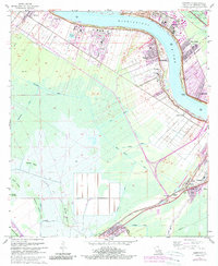
1967 Hahnville
St. Charles Parish, LA
1969 Hahnville
St. Charles Parish, LA
1992 Hahnville
St. Charles Parish, LA
1995 Hahnville
St. Charles Parish, LA
2012 Hahnville
St. Charles Parish, LA
2015 Hahnville
St. Charles Parish, LA
2018 Hahnville
St. Charles Parish, LA
2020 Hahnville
St. Charles Parish, LA
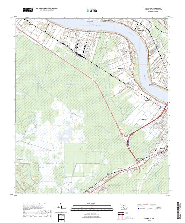
2024 Hahnville
St. Charles Parish, LA