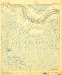
1891 Map of Hahnville
USGS Topo · Published 1921About this map
The Mississippi River snakes through the northern portion of this landscape, its banks densely lined with family-named settlements and railroad crossings at the end of the 19th century. This area of St Charles Parish shows a complex network of infrastructure where the Texas and Pacific and Southern Pacific railroads navigate the transition from the riverfront to the southern wetlands. The interior is dominated by the expansive Prairie des Allemands, a vast marshy reach punctuated by waterways like Bayou Black Prince and Bayou Piquant. In the southwest, the fishing and trapping community of Des Allemands sits at the head of Little Lake, marking an important transport node where rail lines meet the bayou. The map documents the intricate division of land along the river, where long, narrow strips characteristic of the French arpent system extend back from the water near Hahnville and Lone Star.
Find a feature on this map
36 named features on this map. Tap any name to fly to it.
Don’t see what you’re looking for? This feature index may not catch every label — zoom into the map to look around manually.
Map Details
Editions of this 1891 Hahnville Map
5 editions found
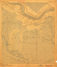
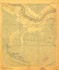
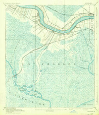
Other maps of this area

1891 · Hahnville
USGS Topo · 1:62,500

1891 · Spanish Fort
USGS Topo · 1:62,500

1891 · New Orleans
USGS Topo · 1:62,500

1892 · Barataria
USGS Topo · 1:62,500

1892 · Lac Des Allemands
USGS Topo · 1:62,500

1892 · Mount Airy
USGS Topo · 1:62,500

1892 · Bonnet Carre
USGS Topo · 1:62,500

1892 · Cut-Off
USGS Topo · 1:62,500

1892 · Houma
USGS Topo · 1:62,500

1932 · New Orleans NW
USGS Topo · 1:31,680