1891 Map of Hahnville
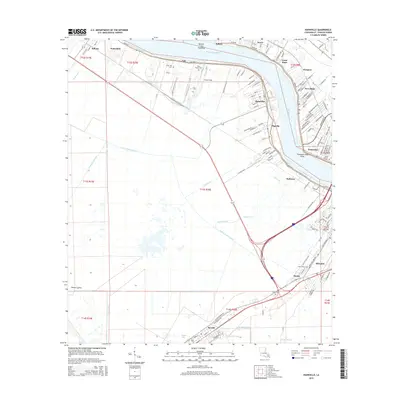
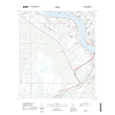
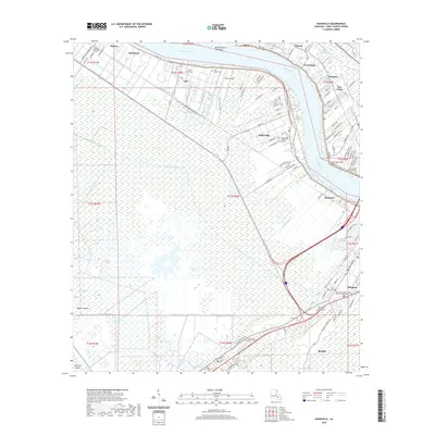
USGS Topo · Published 1934About this map
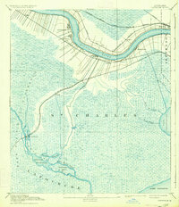
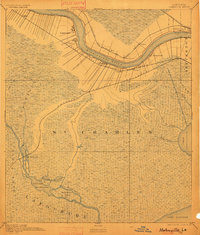
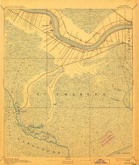
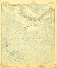
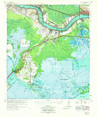
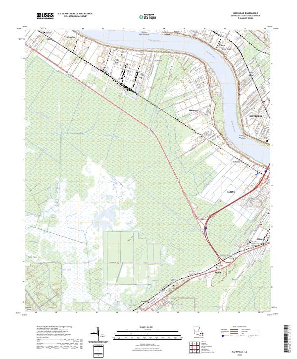
The Mississippi River creates a sharp oxbow bend through the heart of Hahnville, anchoring a landscape defined by the tension between industrial rail expansion and the expansive wetlands of the Louisiana coast. In this late nineteenth-century survey, a dense network of riverfront settlements like Luling and Pecan Grove contrast with the broad, open reaches of the Prairie Des Allemands. Transportation dominates the geography, as the Texas and Pacific and Southern Pacific railroads push across the marshes toward Des Allemands. South of the river, the terrain dissolves into a complex web of waterways, including Bayou Black Prince and Malign Bay, leading toward the wide waters of Lake Salvador. This era represents a pivotal moment when the traditional river-based economy was being integrated into a national rail system, forever altering the isolation of these coastal bayous.
Find a feature on this map
36 named features on this map. Tap any name to fly to it.
Don’t see what you’re looking for? This feature index may not catch every label — zoom into the map to look around manually.
Map Details
Editions of this 1891 Hahnville Map
5 editions found

Historical Maps of Kenner Through Time
13 maps found
1891 Hahnville
St. Charles Parish, LA
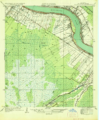
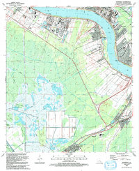
1936 Hahnville
St. Charles Parish, LA
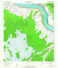
1952 Hahnville
St. Charles Parish, LA
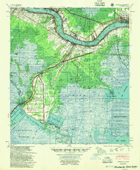
1955 Hahnville
St. Charles Parish, LA
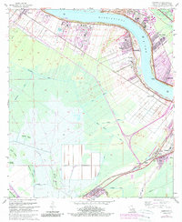
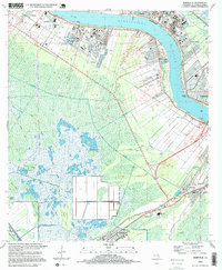
1967 Hahnville
St. Charles Parish, LA
1969 Hahnville
St. Charles Parish, LA
1992 Hahnville
St. Charles Parish, LA
1995 Hahnville
St. Charles Parish, LA
2012 Hahnville
St. Charles Parish, LA
2015 Hahnville
St. Charles Parish, LA
2018 Hahnville
St. Charles Parish, LA
2020 Hahnville
St. Charles Parish, LA
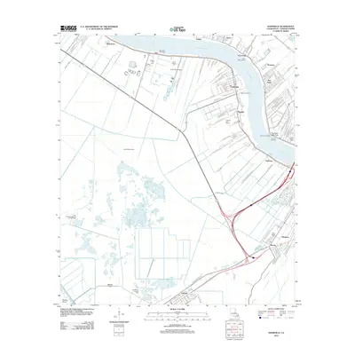
2024 Hahnville
St. Charles Parish, LA