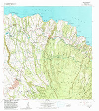
1983 Map of Haiku
USGS Topo · Published 1991About this map
Makawao serves as a prominent upland hub on this northern Maui coast during the early 1980s, its character defined by the transition from agriculture and forest reserves to coastal settlements. The landscape is deeply incised by northward-running gulches, such as Maliko Gulch and Kuiaha Gulch, which dictate the local road patterns and land use. Inland, the Makawao Forest Reserve and Haleakala Homesteads represent the higher-elevation rural legacy of the district, while the presence of the U of H Agricultural Experimental Station and the Rodeo Arena points to the specialized local economy and culture.
Find a feature on this map
78 named features on this map. Tap any name to fly to it.
Don’t see what you’re looking for? This feature index may not catch every label — zoom into the map to look around manually.
Map Details
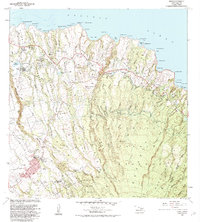
Editions of this 1983 Haiku Map
2 editions found
Other maps of this area

1954 · Maui
USGS Topo · 1:250,000

1954 · Paia
USGS Topo · 1:24,000

1954 · Puu O Kali
USGS Topo · 1:24,000

1957 · Kilohana
USGS Topo · 1:24,000

1957 · Haiku
USGS Topo · 1:24,000

1957 · Nahiku
USGS Topo · 1:24,000

1957 · Keanae
USGS Topo · 1:24,000

1966 · Maui
USGS Topo · 1:250,000

1974 · Maui
USGS Topo · 1:250,000
1977 · Paia
USGS Topo · 1:24,000