
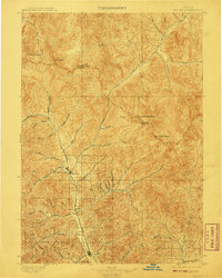
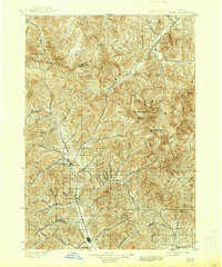
1897 Map of Hailey
USGS Topo · Published 1897About this map
Hailey and Ketchum serve as the primary hubs in this late nineteenth-century survey, connected by the Union Pacific (Wood River Branch) R. R. through the Wood River valley. The map documents a landscape defined by significant peaks and thermal features, such as Guyer Hot Springs and a second Hot Springs site to the south. The drainage patterns are intricate, with the North Fork Wood River and Lost River systems carved into the high terrain. High-elevation landmarks like Hyndman Peak and the curiously named The Devils Bedstead dominate the eastern horizon. The presence of early settlements like Gimlet and numerous gulches and creeks—such as Ohio Gulch and Warm Springs Creek—suggests a region shaped by both its geology and the early mining and transportation routes that followed these natural corridors. This record provides an exact view of the Custer Co. Blaine Co. boundary as it was formally established during this era.
Find a feature on this map
44 named features on this map. Tap any name to fly to it.
Don’t see what you’re looking for? This feature index may not catch every label — zoom into the map to look around manually.
Map Details
Editions of this 1897 Hailey Map
3 editions found
Other maps of this area

1895 · Hailey
USGS Topo · 1:125,000

1900 · Sawtooth
USGS Topo · 1:125,000

1919 · Custer
USGS Topo · 1:125,000

1922 · Custer
USGS Topo · 1:125,000

1929 · Bayhorse
USGS Topo · 1:125,000

1935 · MacKay
USGS Topo · 1:96,000

1935 · Borah Peak
USGS Topo · 1:125,000

1938 · Borah Peak
USGS Topo · 1:125,000

1955 · Dubois
USGS Topo · 1:250,000

1955 · Idaho Falls
USGS Topo · 1:250,000