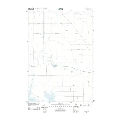
2010 Map of Halder
USGS Topo · Published 2010About this map
The Big Eau Pleine Reservoir dominates the southwestern corner of this Marathon County landscape, where the Wisconsin terrain is defined by a dense network of tributaries including Hog Creek, Freeman Creek, and Fourmile Creek. Small rural settlements like Halder and Moon serve as focal points for a grid-based road system that reflects the agricultural and residential development of the early 21st century. Notable local landmarks include the Scherrico Meadows Airport and numerous family-named roads such as Goldas Rd and Hytry Rd, which provide valuable clues for genealogists tracking local land ownership. The map illustrates a transition from managed water resources at the reservoir to the scattered woodland and open fields that characterize the central Wisconsin countryside.
Find a feature on this map
36 named features on this map. Tap any name to fly to it.
Don’t see what you’re looking for? This feature index may not catch every label — zoom into the map to look around manually.
Map Details
Editions of this 2010 Halder Map
This is the sole edition of this map. No revisions or reprints were ever made.
Other maps of this area

1899 · Wausau
USGS Topo · 1:125,000

1902 · Wausau
USGS Topo · 1:125,000

1902 · Marathon
USGS Topo · 1:125,000

1953 · Wausau
USGS Topo · 1:48,000

1953 · Marathon
USGS Topo · 1:48,000

1955 · Green Bay
USGS Topo · 1:250,000

1956 · Milladore
USGS Topo · 1:48,000

1956 · Stevens Point
USGS Topo · 1:48,000

1963 · Wausau West
USGS Topo · 1:24,000

1963 · Marathon
USGS Topo · 1:62,500