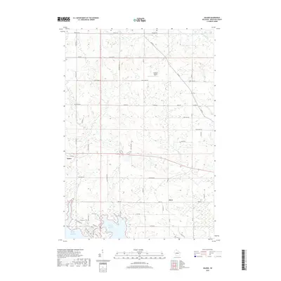
2018 Map of Halder
USGS Topo · Published 2018About this map
Halder and Moon anchor this central Wisconsin landscape, which is defined by the expansive northern reaches of the Big Eau Pleine Reservoir. The area is characterized by a dense network of township and county roads, reflecting a steady pattern of rural development and land use. The reservoir's shoreline is marked by recreational infrastructure, including the Outer Loop - Horse Trails and the Popcorn Blue route, indicating the region's importance for local outdoor activities. Numerous small waterways, such as Freeman Cr, Hog Cr, and Fourmile Cr, drain the surrounding terrain, winding between family-named farm roads and woodlots. Aviation and commerce are represented by Scherrico Meadows Airport and the Prudential site, providing local-history researchers with specific landmarks of 21st-century rural industry and infrastructure in Marathon County.
Find a feature on this map
49 named features on this map. Tap any name to fly to it.
Don’t see what you’re looking for? This feature index may not catch every label — zoom into the map to look around manually.
Map Details
Editions of this 2018 Halder Map
This is the sole edition of this map. No revisions or reprints were ever made.
Other maps of this area

1899 · Wausau
USGS Topo · 1:125,000

1902 · Wausau
USGS Topo · 1:125,000

1902 · Marathon
USGS Topo · 1:125,000

1953 · Wausau
USGS Topo · 1:48,000

1953 · Marathon
USGS Topo · 1:48,000

1955 · Green Bay
USGS Topo · 1:250,000

1956 · Milladore
USGS Topo · 1:48,000

1956 · Stevens Point
USGS Topo · 1:48,000

1963 · Wausau West
USGS Topo · 1:24,000

1963 · Marathon
USGS Topo · 1:62,500