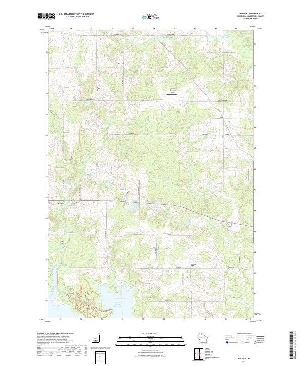
2022 Map of Halder
USGS Topo · Published 2022About this map
The Big Eau Pleine Reservoir dominates the southern landscape of this central Wisconsin region, where the wooded wetlands of the Big Eau Pleine Reservoir basin meet the organized grid of Marathon County dairy country. The small settlements of Halder and Moon serve as the primary local hubs, connected by a network of rural routes including Sugar Bush Rd and Moon Rd. The terrain is defined by its drainages, with Freeman Creek and Fourmile Cr carving through the agricultural sections. A notable aviation landmark, the Scherrico Meadows Airport, sits tucked between Spring Brook RD and Burma RD, illustrating the low-density, wide-open character of the area. This survey reveals a landscape of transition where managed parklands like those along Eau Pleine Park Rd interface with the traditional township lines and family farmsteads that have long defined the townships of t27n r6e and t28n r5e.
Find a feature on this map
53 named features on this map. Tap any name to fly to it.
Don’t see what you’re looking for? This feature index may not catch every label — zoom into the map to look around manually.
Map Details
Editions of this 2022 Halder Map
This is the sole edition of this map. No revisions or reprints were ever made.
Other maps of this area

1899 · Wausau
USGS Topo · 1:125,000

1902 · Wausau
USGS Topo · 1:125,000

1902 · Marathon
USGS Topo · 1:125,000

1953 · Wausau
USGS Topo · 1:48,000

1953 · Marathon
USGS Topo · 1:48,000

1955 · Green Bay
USGS Topo · 1:250,000

1956 · Milladore
USGS Topo · 1:48,000

1956 · Stevens Point
USGS Topo · 1:48,000

1963 · Wausau West
USGS Topo · 1:24,000

1963 · Marathon
USGS Topo · 1:62,500