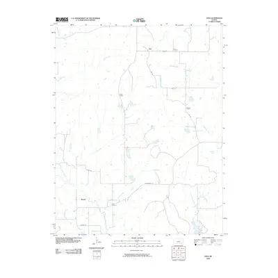
2009 Map of Hale
USGS Topo · Published 2009About this map
Hale and Monett anchor this rural landscape in southeastern Kansas, where a network of watercourses defines the terrain. The drainage patterns are particularly intricate, with Bachelor Creek and Broker Creek in the north giving way to the southern reaches of North Caney Creek and Possum Trot Creek. This map reveals a community structured by its topography and history, evidenced by the scattered locations of the Hale Cemetery, Hardrock Cemetery, and Riley Cemetery.
Find a feature on this map
24 named features on this map. Tap any name to fly to it.
Don’t see what you’re looking for? This feature index may not catch every label — zoom into the map to look around manually.
Map Details
Editions of this 2009 Hale Map
This is the sole edition of this map. No revisions or reprints were ever made.
Other maps of this area

1885 · Sedan
USGS Topo · 1:125,000

1886 · Independence
USGS Topo · 1:125,000

1889 · Sedan
USGS Topo · 1:125,000

1894 · Independence
USGS Topo · 1:125,000

1905 · Independence
USGS Topo · 1:125,000

1947 · Joplin
USGS Topo · 1:250,000

1949 · Joplin
USGS Topo · 1:250,000

1954 · Joplin
USGS Topo · 1:250,000

1955 · Wichita
USGS Topo · 1:250,000

1958 · Wichita
USGS Topo · 1:250,000