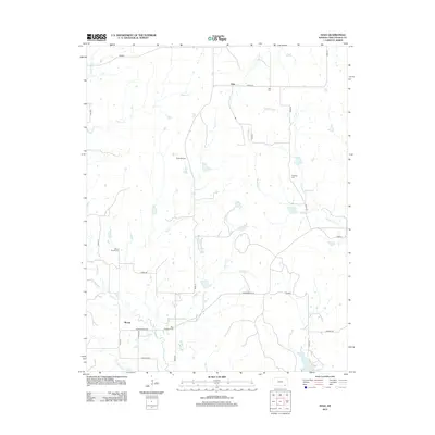
2012 Map of Hale
USGS Topo · Published 2012About this map
Hale and Monett anchor this rural landscape in Chautauqua County, where the topography is defined by a dense network of creek drainages including Fly Cr, Deadman Cr, and California Cr. The area is notably rich in small family and community burial grounds, preserving local heritage at sites such as Hale Cem, Hardrock Cem, Mount Vernon Cem, and Riley Memorial Cem. A series of numbered section roads and local routes like Lariat Rd and Independence Rd lattice the countryside, connecting isolated farmsteads to the larger regional network. The inclusion of Rupp Airport northwest of the center points to the continuing importance of private aviation in navigating this expansive prairie terrain. Historically significant watercourses like N Caney Cr and Possum Trot Cr wind through the southern sections, illustrating the natural drainage patterns that have dictated settlement and land use in this part of Kansas for generations.
Find a feature on this map
31 named features on this map. Tap any name to fly to it.
Don’t see what you’re looking for? This feature index may not catch every label — zoom into the map to look around manually.
Map Details
Editions of this 2012 Hale Map
This is the sole edition of this map. No revisions or reprints were ever made.
Other maps of this area
1885 · Sedan
USGS Topo · 1:125,000
1886 · Independence
USGS Topo · 1:125,000
1889 · Sedan
USGS Topo · 1:125,000
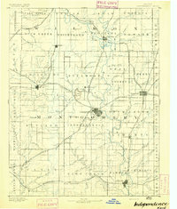
1894 · Independence
USGS Topo · 1:125,000
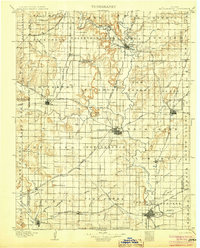
1905 · Independence
USGS Topo · 1:125,000

1947 · Joplin
USGS Topo · 1:250,000
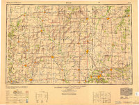
1949 · Joplin
USGS Topo · 1:250,000
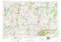
1954 · Joplin
USGS Topo · 1:250,000
1955 · Wichita
USGS Topo · 1:250,000
1958 · Wichita
USGS Topo · 1:250,000