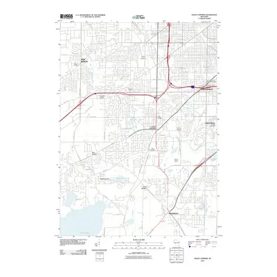
2010 Map of Hales Corners
USGS Topo · Published 2010About this map
Hales Corners and its neighboring suburbs south of Milwaukee are depicted here at a moment of dense residential infill and established recreation. The map captures the significant green space of Boerner Botanical Gardens and the Whitnall Park Golf Course, which contrast with the grid of suburban developments in Greenfield and Greendale. Local history is anchored by several long-standing burial grounds, including Holy Apostles Cemetery, Saint Pauls Lutheran Cemetery, and Ever-Rest Cemetery. Cultural landmarks such as the Hales Corners Speedway and Patterson Orchard reflect the area's transition from agricultural roots to a modern metropolitan landscape. Smaller communities like Saint Martins and Tess Corners remain visible alongside newer residential clusters like Durhamswood. Water features such as the Root River and Muskego Lake provide the natural framework for this evolving terrain.
Find a feature on this map
59 named features on this map. Tap any name to fly to it.
Don’t see what you’re looking for? This feature index may not catch every label — zoom into the map to look around manually.
Map Details
Editions of this 2010 Hales Corners Map
This is the sole edition of this map. No revisions or reprints were ever made.
Other maps of this area

1891 · Bayview
USGS Topo · 1:62,500

1891 · Muskego
USGS Topo · 1:62,500

1892 · Milwaukee
USGS Topo · 1:62,500

1892 · Waukesha
USGS Topo · 1:62,500

1901 · Milwaukee
USGS Topo · 1:62,500

1901 · Waukesha
USGS Topo · 1:62,500

1901 · Bayview
USGS Topo · 1:62,500

1901 · Muskego
USGS Topo · 1:62,500

1906 · Waukesha
USGS Topo · 1:62,500

1906 · Milwaukee
USGS Topo · 1:62,500