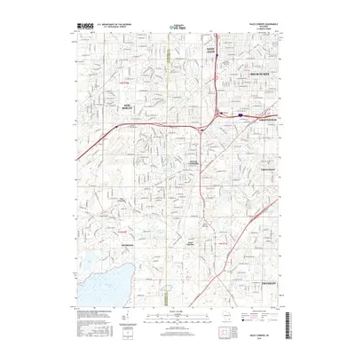
2016 Map of Hales Corners
USGS Topo · Published 2016About this map
Hales Corners and its neighboring suburban communities in the late 2010s are defined by a complex interface of residential growth and preserved natural corridors. The Root River and Ryan Creek systems weave through the landscape, connecting several significant water bodies including Upper Kelly Lake, Lower Kelly Lake, and the expansive Muskego Lake in the southwest. The map documents the persistent identity of established unincorporated areas like Tess Corners and Saint Martins, the latter of which is anchored by the Sacred Heart School of Theology. Local history and genealogy are further grounded in several cemeteries that dot the area, such as the Temple Menorah Ever Rest Cemetery and Saint Pauls Lutheran Cemetery, reflecting the diverse cultural and religious foundations of the Milwaukee and Waukesha county borderlands.
Find a feature on this map
110 named features on this map. Tap any name to fly to it.
Don’t see what you’re looking for? This feature index may not catch every label — zoom into the map to look around manually.
Map Details
Editions of this 2016 Hales Corners Map
This is the sole edition of this map. No revisions or reprints were ever made.
Other maps of this area

1891 · Bayview
USGS Topo · 1:62,500

1891 · Muskego
USGS Topo · 1:62,500

1892 · Milwaukee
USGS Topo · 1:62,500

1892 · Waukesha
USGS Topo · 1:62,500

1901 · Milwaukee
USGS Topo · 1:62,500

1901 · Waukesha
USGS Topo · 1:62,500

1901 · Bayview
USGS Topo · 1:62,500

1901 · Muskego
USGS Topo · 1:62,500

1906 · Waukesha
USGS Topo · 1:62,500

1906 · Milwaukee
USGS Topo · 1:62,500