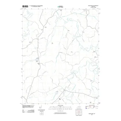
2010 Map of Haleys Mill
USGS Topo · Published 2010About this map
Haleys Mill and the surrounding Christian County countryside are defined by the intricate winding of the Pond River and its numerous tributaries. In this rural landscape, small settlements like Apex and Bluff Spring serve as anchors for a network of country roads, including Fruithill Red Bridge Rd and Brinkley Store Rd. The terrain is marked by distinctive features such as Ball Knob and Wildcat Hollow, which break up the lowlands near the river forks.
Find a feature on this map
56 named features on this map. Tap any name to fly to it.
Don’t see what you’re looking for? This feature index may not catch every label — zoom into the map to look around manually.
Map Details
Editions of this 2010 Haleys Mill Map
This is the sole edition of this map. No revisions or reprints were ever made.
Other maps of this area

1911 · Drakesboro
USGS Topo · 1:48,000

1912 · Nortonville
USGS Topo · 1:62,500

1913 · Drakesboro
USGS Topo · 1:62,500

1952 · Kelly
USGS Topo · 1:24,000

1952 · Allegre
USGS Topo · 1:24,000

1952 · Honey Grove
USGS Topo · 1:24,000

1952 · Greenville
USGS Topo · 1:24,000

1952 · Crofton
USGS Topo · 1:24,000

1953 · Haleys Mill
USGS Topo · 1:24,000

1953 · Nortonville
USGS Topo · 1:24,000