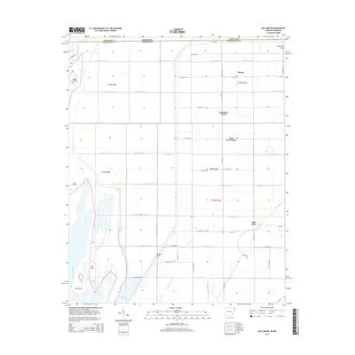
2014 Map of Half Moon
USGS Topo · Published 2014About this map
Big Lake and the Right Hand Chute Little River dominate the southwestern corner of this survey, defining a landscape where the natural hydrology of the Little River basin has been heavily modified for agriculture. The terrain is crisscrossed by an extensive network of drainage infrastructure, including Ditch Number 58, Ditch Number 67, and Ditch Number 69, which follow the rigid township and range lines of the Public Land Survey System. These channels transformed the Arkansas Delta wetlands into productive farmland, supporting scattered rural communities like Half Moon, Midway, and Stark City.
Find a feature on this map
65 named features on this map. Tap any name to fly to it.
Don’t see what you’re looking for? This feature index may not catch every label — zoom into the map to look around manually.
Map Details
Editions of this 2014 Half Moon Map
This is the sole edition of this map. No revisions or reprints were ever made.
Other maps of this area

1934 · Kennett
USGS Topo · 1:62,500

1939 · Blytheville
USGS Topo · 1:62,500

1940 · Kennett
USGS Topo · 1:62,500

1940 · Hayti
USGS Topo · 1:62,500

1941 · Manila
USGS Topo · 1:62,500

1953 · Memphis
USGS Topo · 1:250,000

1955 · Hayti
USGS Topo · 1:62,500

1955 · Blytheville
USGS Topo · 1:62,500

1956 · Kennett
USGS Topo · 1:62,500

1956 · Manila
USGS Topo · 1:62,500