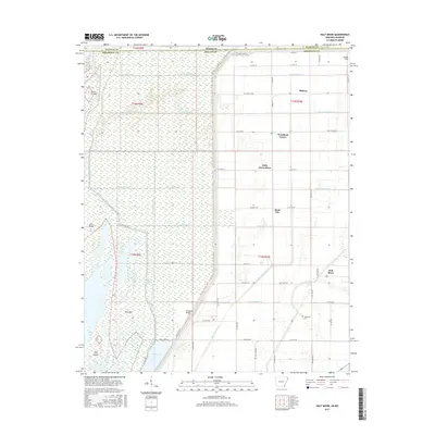
2017 Map of Half Moon
USGS Topo · Published 2017About this map
Big Lake and its intricate network of drainage ditches dominate this section of the Arkansas-Missouri borderlands. This landscape is defined by the highly engineered water management system of the Little River basin, featuring a dense grid of numbered channels such as Ditch Number 58 and Ditch Number 26 that transformed the wetlands of Mississippi Co into productive territory. Small community hubs like Half Moon and Stark City anchor the rural road network, while the local history of the region is preserved at sites like the Wilkerson Cem and Simmons Bridge. The map details the transition from the open waters and marshy islands of Mallard Lake and Gun Island to the organized agricultural plots that surround Midway and Woodland Corner. This survey provides an essential view of the man-made hydrology and localized settlements that have come to define this corner of the Mississippi Delta.
Find a feature on this map
67 named features on this map. Tap any name to fly to it.
Don’t see what you’re looking for? This feature index may not catch every label — zoom into the map to look around manually.
Map Details
Editions of this 2017 Half Moon Map
This is the sole edition of this map. No revisions or reprints were ever made.
Other maps of this area

1934 · Kennett
USGS Topo · 1:62,500

1939 · Blytheville
USGS Topo · 1:62,500

1940 · Kennett
USGS Topo · 1:62,500

1940 · Hayti
USGS Topo · 1:62,500

1941 · Manila
USGS Topo · 1:62,500

1953 · Memphis
USGS Topo · 1:250,000

1955 · Hayti
USGS Topo · 1:62,500

1955 · Blytheville
USGS Topo · 1:62,500

1956 · Kennett
USGS Topo · 1:62,500

1956 · Manila
USGS Topo · 1:62,500