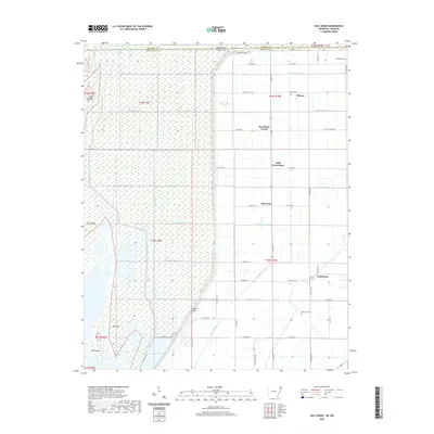
2020 Map of Half Moon
USGS Topo · Published 2020About this map
Big Lake and the Little River anchor the western reaches of this landscape, where the waters of northeastern Arkansas and southeastern Missouri meet. The terrain is defined by an intricate network of drainage systems, including Ditch Number 58 and Ditch Number 63, which transformed the Mississippi River floodplains into productive agricultural land. These engineered waterways shape the movement of the region, creating a grid-like pattern that dictates the location of local crossroads and communities. Small settlements and local landmarks like Half Moon, Stark City, and the Little Green Store punctuate the landscape, serving as historical touchpoints for the rural population. Along the eastern edge, Mallard Lake and the Wilkerson Cem offer further glimpses into the local geography and genealogy of Mississippi County. The map clearly illustrates the transition from the river-fed wetlands of Hog Island to the organized township sections that dominate the northern and eastern borders.
Find a feature on this map
69 named features on this map. Tap any name to fly to it.
Don’t see what you’re looking for? This feature index may not catch every label — zoom into the map to look around manually.
Map Details
Editions of this 2020 Half Moon Map
This is the sole edition of this map. No revisions or reprints were ever made.
Other maps of this area

1934 · Kennett
USGS Topo · 1:62,500

1939 · Blytheville
USGS Topo · 1:62,500

1940 · Kennett
USGS Topo · 1:62,500

1940 · Hayti
USGS Topo · 1:62,500

1941 · Manila
USGS Topo · 1:62,500

1953 · Memphis
USGS Topo · 1:250,000

1955 · Hayti
USGS Topo · 1:62,500

1955 · Blytheville
USGS Topo · 1:62,500

1956 · Kennett
USGS Topo · 1:62,500

1956 · Manila
USGS Topo · 1:62,500